
SLIDE 1
Open House
April 22, 2008
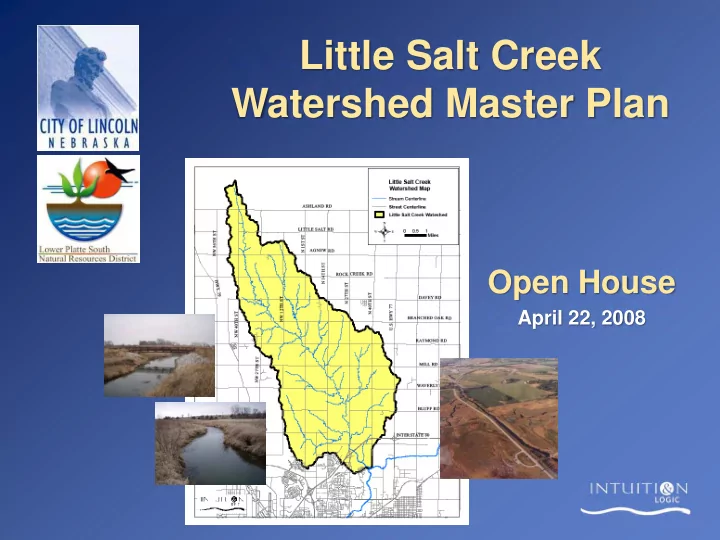
Little Salt Creek Watershed Master Plan Open House April 22, 2008 - - PowerPoint PPT Presentation
Little Salt Creek Watershed Master Plan Open House April 22, 2008 Open House Format Formal Presentation (15 minutes) Informal Stations Following Formal Presentation Visit with Project Team Staff Ask Specific Questions Tonight's
April 22, 2008
Stream Stability Floodplain Mapping Public Involvement Watershed Inventory Natural Resources Water Quality Soil Assessment
Lincoln Lancaster County Planning Department
Heartland Center for Leadership Development
– Computer Models – GIS Format Output
USDA
TASKS
2008 2009
Feb Mar Apr May June July Aug Sept Oct Nov Dec Jan Feb Mar Apr May June July Aug Sept Oct Nov
Floodplain Mapping Data Gathering & Analysis Master Plan Report Development Open Houses Citizen Advisory Committee Meetings
2MoreCACMeetings 1MoreOpenHouse