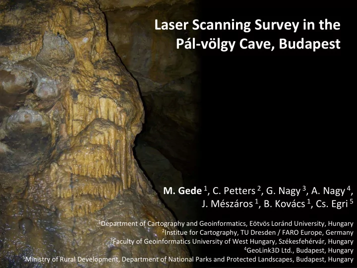
SLIDE 1 Laser Scanning Survey in the Pál‐völgy Cave, Budapest
2, G. Nagy 3, A. Nagy 4,
1, B. Kovács 1, Cs. Egri 5
1Department of Cartography and Geoinformatics, Eötvös Loránd University, Hungary 2Institue for Cartography, TU Dresden / FARO Europe, Germany 3Faculty of Geoinformatics University of West Hungary, Székesfehérvár, Hungary 4GeoLink3D Ltd., Budapest, Hungary 5Ministry of Rural Development, Department of National Parks and Protected Landscapes, Budapest, Hungary
SLIDE 2
Outline
About the cave Problems of cave surveying Equipment The survey Results Conclusions Further plans
SLIDE 3
About the cave
Budapest – the capital of caves (~100 caves under the town) The Pál‐völgy Cave ‐ with recently found connections to neigbouring caves – is part fo the longest cave system in Hungary (28 km) Only 600m is open to the public (with pavement, handrails etc.) Why this cave? ‐ Easily accessible ‐ The survey of the public parts can be finished in one day
SLIDE 4
Problems of cave surveying
‐ Underground work – no GPS, no GSM network , darkness, communication problems ‐ Humidity – not perfect conditions for measuring instruments ‐ Hard terrain (in undeveloped caves) ‐ Visitors (developed caves, open to the public) ‐ Traditional survey (gyrocompass, tape measure) – uncertain, big errors ‐ Survey with a total station – not suitable for complex‐shaped chambers ‐ Terrestrial laser scanning – good, fast, but the equipment is expensive and vulnerable; processing of resulting point clouds requires high‐performace computers
SLIDE 5
Equipment
Faro Focus3D (GeoLink3D Ltd.) Leica ScanStation C10 (Univ. of West Hungary) Our university does not own a TLS; No financial support for the project
Spectra Epoch RTK GPS for measuring outer control points
Help from a partner university and a private company of former students
SLIDE 6
The survey
––– „Leica parts” ––– „Faro parts”
SLIDE 7 Results
Website with scanner panoramas and overview map Flash panorama viewer OpenLayers
SLIDE 8
Results
Point cloud of developed parts 210m 170m 190m 200m 180m
SLIDE 9
Results
Fly‐through videos
SLIDE 10 Results
Vector map of pavements, stairs, handrails based on the point cloud Serious accuracy issues
SLIDE 11
Conclusions
Advantages of Faro Focus3D: ‐Faster scanning ‐Smaller weight and size ‐Automatic recognition of control spheres Advantages of Leica ScanStation C10: ‐Longer range ‐Fewer control points (automatically finds vertical axis) When surveying in caves without large chambers the Faro scanner is much more suitable.
SLIDE 12
Further plans
‐ The compilation of a new, much more accurate map of the cave (in progress) ‐ Creating simplified 3D surface model of the cave ‐ Examining the use of control spheres instead of discs for the Leica system (to speed up the surveying) ‐ Scanning additional parts of the Pál‐völgy Cave (where the circumstances make it possible, the scanning scenes have to be approachable by considerably wide corridors to ensure that the instruments can be carried in safely) ‐ Scanning other Hungarian caves. The most promising plan is to survey in the Baradla Cave in North‐Eastern Hungary, where huge halls follow each other for several kilometers. The wide corridors and the large sizes make this cave an ideal subject for a TLS survey.
SLIDE 13
Thank you for your attention