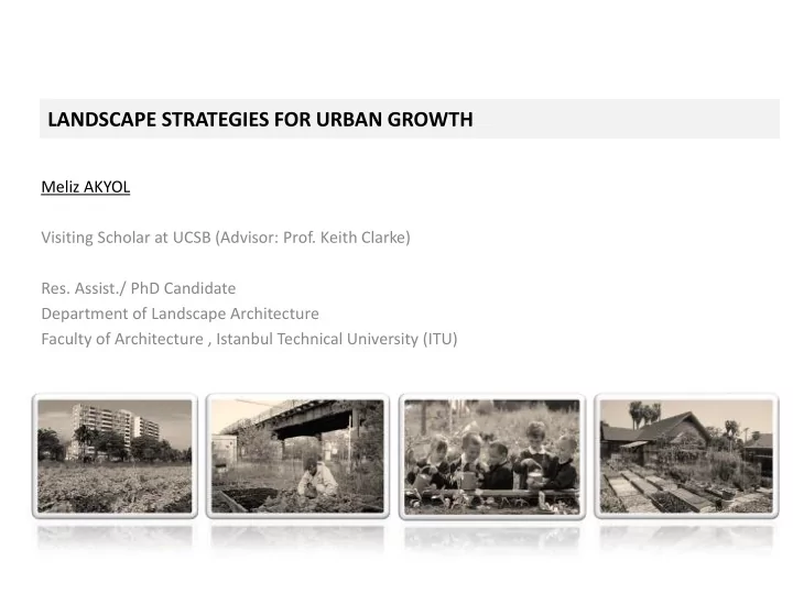
SLIDE 1 LANDSCAPE STRATEGIES FOR URBAN GROWTH
Meliz AKYOL Visiting Scholar at UCSB (Advisor: Prof. Keith Clarke)
- Res. Assist./ PhD Candidate
Department of Landscape Architecture Faculty of Architecture , Istanbul Technical University (ITU)
SLIDE 2 OBJECTIVES
- Revealing Urban Agriculture Concept Criteria
- Developing a Design Scheme
- Mapping Agricultural Lands in Istanbul
SLIDE 3 BACKGROUND
Rapid urbanization all around the world became a phenomenon. According to United Nations forecasts, by 2050 nearly %80 of the global population will live in cities. “Nothing endures but change.” - Heraclitus
- To feed a city of this size, 6 000 tones of food must be imported every day.
SLIDE 4
- Decrease in the percentage of public spaces
- Decline in quality of life and health,
- Changes in eating habit,
- Stress on fresh food supplies,
- Lack of awareness on natural degradation.
BACKGROUND
SLIDE 5 According to Mougeot (2000), urban agriculture is the agriculture that is practiced in areas close to urban centers, using primarily urban-based resources to provide the urban population with certain services.
URBAN AGRICULTURE
- Improves the relationship between city and nature,
- Works as a source of additional income and improves the quality of life,
- Gives direct access to fresher and cheaper food, reduces the energy that is used for transportation,
- Contributes the green space for public use,
- Provides available spaces to educate children about nature,
- Supports the development of cities in social and ecological way.
SLIDE 6
Allotment Gardens
Community Gardens
The Mıddlesbrough Urban Farmıng Project Creekside Community Garden Brooklyn
City Farms
Melmo Allotment Gradens- Sweden
TYPES OF URBAN AGRICULTURE PRACTICES
Urban Agriculture practices can vary in three major concepts:
SLIDE 7 Allotment gardens Community gardens City farms Location
Inner urban area Urban-urban firnge (vacant lots, unexploited area within educational or health facilities). Urban fringe
Size
Up to 1000 m2 1000-5000 m2 More than 10.000 m2
Ownership
State owned or private (rented to management) State owned, Association owned, Charity owned Individual, Association owned, Land trusts, and Local authorities
Management
Lease holders (individuals, families). An organizing group of individuals who volunteer for working. Voluntary workers, Paid employees
Consumer
Individuals, families who manage the land. Volunteer workers and individuals in neighborhood. Citizens who come to buy the products. (They produce for trade and small- scale consumption by producers)
Access to the garden/farm
Limited (The land belongs to the holder during the rent period) Open for access. (The entrance hours depends on the
- rganization community rules).
Semi limited.(Open for educational, sports, and community activities).
Features
Raising beds, warehouse. Compost area Open and undercover cultivation areas, Warehouses, lawn, Community gathering squares, compost area, Little recreation(small pond or lawn with seasonal flowers) Open and undercover cultivation areas, accommodation, recreational and resting areas, Educetion activity places (for school children, and students), Sport facilities (horse riding club).Sales area (for selling products)
Products
Vegetable, fruit, ornamental plants Vegetable, fruit, ornamental plants Any kind of plant and animal production.
Purpose
To supply cultivator or family, hoby To supply food for community, hobby, social gathering. Trade, education, food supply, social gathering, sports and recreation.
URBAN AGRICULTURE TYPOLOGIES (Akyol, 2011. Evolutıon of urban agrıculture concept and determınatıon of desıgn crıterıa)
SLIDE 8
Agricultural Distribution in the Uban Context
SLIDE 9
Classification of Urban Agriculture according to three UA concepts. This map represents existing agricultural lands and suitable lands for cultivation in Istanbul
SLIDE 10
PLACE IN THE AGRICULTURAL AREA ALIGNMENT DISTRICT NAME DISTRICT AREA (km2) AGRICULTURAL AREA IN THE DISTRICT (km2) PROPORTION (District Area / Agricultural Area) 1 SILIVRI 867,74 505,97 % 58,3 2 CATALCA 1091,55 272,67 % 25 19 ESENLER 18,80 2,76 % 14,7 20 SISLI 34,87 1,78 % 5.10 39 BAYRAMPASA 9,50 % 0 38 BESIKTAS 18 % 0
District areas and agricultural areas in Istanbul and their proportional relations
SLIDE 11
CONCLUSION
As a result , this study reveals an efficient agriculture map of Istanbul. This map can work as a gudeline for governmental institutions, and individuals who involve in the preparetion of development plans, and growth strategies. This study was applied in Istanbul but the distribution, and shape of agricultural lands may change according to different geographical and cultural conditions. Results show that agriculture can be applied in three different concepts considering different environmental conditions: purpose of the application, location, size, ownership, management, and consumer profile, accessibility by target user, required features, and output products.
SLIDE 12
THANK YOU…
Meliz AKYOL melizakyol@gmail.com