
SLIDE 1
Icicle Workgroup Presentation
Eight-Mile Lake Appraisal Study
Dan Haller, PE
December 6, 2013
Dave Rice, PE Mike Kaputa
Icicle Workgroup Presentation Eight-Mile Lake Appraisal Study - - PowerPoint PPT Presentation
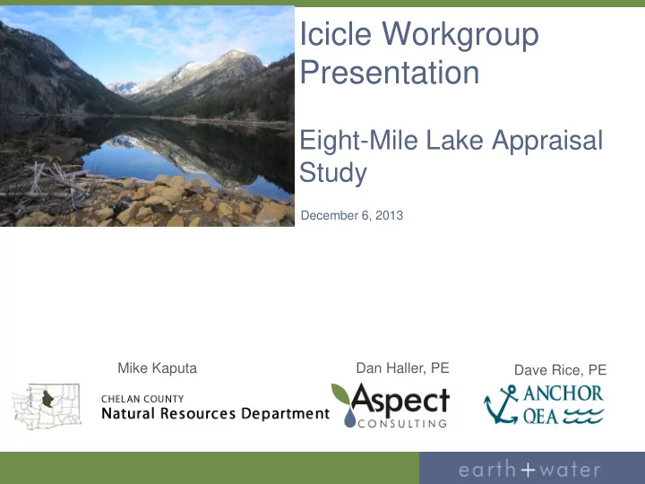
Icicle Workgroup Presentation Eight-Mile Lake Appraisal Study December 6, 2013 Mike Kaputa Dan Haller, PE Dave Rice, PE OCR Grant Overview Eight-Mile Lake Restoration / Expansion Appraisal Study: Build on TU reconnaissance / site
Dan Haller, PE
December 6, 2013
Dave Rice, PE Mike Kaputa
Icicle Creek Water Resources Strategy Workgroup #7
Build on TU reconnaissance / site
Evaluate structural, operational, permitting,
1,827 acre-feet 2,000 acre-feet 2,500 acre-feet 5,000 acre-feet
Icicle Creek Water Resources Strategy Workgroup #7
Icicle Creek Water Resources Strategy Workgroup #7
Masonry Rock/Concrete Wall and Earthen
Earthen Embankment has Eroded at Masonry
Masonry Rock/Concrete Wall is Partially Deteriorated
Spillway
Was Historically Controlled by Flash Boards at
No Longer Controlled by Flash Boards, Debris in
Primary Spillway Well Appears to be Connected to
Icicle Creek Water Resources Strategy Workgroup #7
Overflow Spillway Channel
Filled with Large Rock, Boulders Cutoff Walls Downstream of Dam
Outlet Gate (Controls Flow to Discharge
Original Operator Damaged, Removed Currently Operated by Inserting Come Along into
Rock Above, Against Gate Difficult to Operate and Fully Close
Icicle Creek Water Resources Strategy Workgroup #7
Discharge Pipeline
~36” Corrugated Metal Pipe (CMP) Submerged at Outlet, Rocks and Boulders Unable to inspect submerged Inlet
Rough Measurements
~10 Feet from Top of Wall to Spillway Inlet Crest ~5 Feet from Spillway Inlet Crest to Water Surface Outlet Pipe Invert ~8 to 9 Feet Below Water Surface
Icicle Creek Water Resources Strategy Workgroup #7
Icicle Creek Water Resources Strategy Workgroup #7
Icicle Creek Water Resources Strategy Workgroup #7
Icicle Creek Water Resources Strategy Workgroup #7
District files / institutional knowledge Ecology files (water rights, dam safety, topic,
Chelan County Auditor (parcel ownership) and
DNR files USFS files BLM files
Icicle Creek Water Resources Strategy Workgroup #7
Develop restoration / expansion approach Conceptual design and cost estimates Documentation of existing permit authority Identification of required permit authority for
Documentation of benefits / beneficial uses Operational changes Appraisal Report