
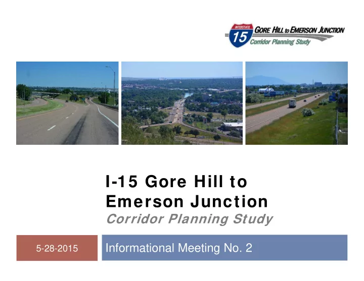
SLIDE 1
I-15 Gore Hill to Emerson Junction
Corridor Planning Study
Informational Meeting No. 2
1
5-28-2015
I-15 Gore Hill to Emerson Junction Corridor Planning Study - - PowerPoint PPT Presentation
1 I-15 Gore Hill to Emerson Junction Corridor Planning Study Informational Meeting No. 2 5-28-2015 Welcome and Introductions 2 Introductions Partners MDT FHWA Great Falls MPO Consultant team Meeting Outline 3
1
5-28-2015
Introductions Partners
MDT FHWA Great Falls MPO
Consultant team
2
3
Title VI considerations Corridor planning process Areas of concern Needs and objectives Recommended improvement options Next steps and conclusion
4
6
Corridor planning studies:
Are “high level scans” Define transportation issues/areas of concern Consider social, economic, and environmental effects at an
Identify cost-effective and feasible strategies Provide a level of analysis that can support informed
Provide opportunities for early and continuous involvement
7
A corridor planning study is not:
An environmental compliance document A preliminary or final design project A construction or maintenance project A right-of-way acquisition project
8
Engage constituents early and often Identify potential impacts and constraints Identify needs and objectives Identify short-range and long-range improvements Develop planning level cost estimates Develop information and data to be forwarded into
Interstate 15
South of Gore Hill North of Emerson
Interstate 315 10th Avenue South
West of Missouri
9
I-15 RP 276.8 I-15 RP 284.3 10th Ave S. RP 95 I-315
11
Bridges
Width and deck condition
Road surfacing
Pavement condition
Railroad
Two crossings
Air service
Access at Gore Hill
12
Mainline Interstate
Horizontal and vertical
Interchanges
Ramp length Interchange spacing
Intersections
Operations (LOS)
13
Safety
Five-year analysis
Four fatal crashes Eight incapacitating
Trend of fixed-object
14
Physical environment
Land use Sun River
Biological environment
Fish, wildlife, and plants
Social and Cultural
Historic properties Parkland
16
Reduce the frequency and severity of crashes. Improve roadway elements to meet current design criteria to
Reduce conflicts between vehicles of varying types and
Address identified crash trends and clusters.
17
Maintain LOS standards for mainline segments and
Improve operations and maintain LOS standards for
18
Provide for the movement and transfer of people and goods. Maintain the roadway for effective and prompt emergency
19
Environmental resource impacts of improvement options. Local and regional planning efforts. Funding availability. Construction feasibility and impacts. Security of the transportation system.
21
(a) Roadway illumination (b) Reconstruct roadway
22
23
24
250 500 125 Feet
FRONTAGE ROAD A I R P O R T D REXISTING OVERPASS STRUCTURE
T R I H I L L F R O N T A G E R O A DROADWAY REALIGNMENT O B L I T E R A T E R O A D W A Y 250 500 125 Feet
FRONTAGE ROAD A I R P O R T D REXISTING OVERPASS STRUCTURE
T R I H I L L F R O N T A G E R O A DROADWAY REALIGNMENT O B L I T E R A T E R O A D W A Y
Gore Hill - Concept A
250 500 125 Feet
FRONTAGE ROAD AIRPORT DREXISTING OVERPASS STRUCTURE RAMP REALIGNMENT
A I R P O R T D R TRI HILL FRONTAGE ROADRAMP REALIGNMENT 250 500 125 Feet
FRONTAGE ROAD AIRPORT DREXISTING OVERPASS STRUCTURE RAMP REALIGNMENT
A I R P O R T D R TRI HILL FRONTAGE ROADRAMP REALIGNMENT
Gore Hill - Concept B
250 500 125 Feet
FRONTAGE ROAD AIRPORT DREXISTING OVERPASS STRUCTURE APPROACH REALIGNMENT
A I R P O R T D R TRI HILL FRONTAGE ROAD250 500 125 Feet
FRONTAGE ROAD AIRPORT DREXISTING OVERPASS STRUCTURE APPROACH REALIGNMENT
A I R P O R T D R TRI HILL FRONTAGE ROADGore Hill - Concept C
250 500 125 Feet
FRONTAGE ROAD AIRPORT DRWiden or Reconstruct Overpass Structure
TRI HILL FRONTAGE ROADSignalized Intersection Signalized Intersection 250 500 125 Feet
FRONTAGE ROAD AIRPORT DRWiden or Reconstruct Overpass Structure
TRI HILL FRONTAGE ROADSignalized Intersection Signalized Intersection
Gore Hill - Concept D
250 500 125 Feet
FRONTAGE ROAD AIRPORT DRWiden or Reconstruct Overpass Structure
TRI HILL FRONTAGE ROADROADWAY REALIGNMENT OBLITERATE ROADWAY Signalized Intersection Signalized Intersection 250 500 125 Feet
FRONTAGE ROAD AIRPORT DRWiden or Reconstruct Overpass Structure
TRI HILL FRONTAGE ROADROADWAY REALIGNMENT OBLITERATE ROADWAY Signalized Intersection Signalized Intersection
Gore Hill - Concept E
25
27
Receive and consider comments on draft corridor
Public Stakeholders Resource agencies
Review with study planning team Prepare final corridor study report Post to study website, distribute, and conclude
Comment period runs from May 22 through June 21, 2015
28
Depends on availability of funds. Required steps:
Identify and secure a funding source(s) Follow MDT guidelines for project nomination and
Coordinate with MDT via the System Impact
29
Questions, answers and/or
Study website:
http://www.mdt.mt.gov/pubinvolve/i15
Study newsletters Study contact
Corrina Collins MT Department of Transportation 2701 Prospect Avenue Helena, Montana 59620-1001 P.O. Box 201001 (406) 444-9131 ccollins@mt.gov