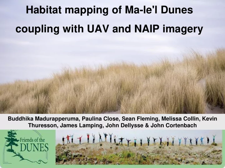

Habitat mapping of Ma-le'l Dunes coupling with UAV and NAIP imagery Buddhika Madurapperuma, Paulina Close, Sean Fleming, Melissa Collin, Kevin Thuresson, James Lamping, John Dellysse & John Cortenbach
Background Info - Data Collection - Mal- e’l Dunes - Kite Aerial Photography - UAV - Agisoft Photoscan - Add Photos - Align Photos - Build Dense Point Cloud - Build Mesh - Build Orthomosaic
Objective To determine which classification method was most accurate in identifying dune features when performed on a large, diverse area Importance of Research • Monitoring and managing vegetation over a large area • Land management and restoration
Data Sources • NAIP Images: 2012, 2014, 2016 • UAV Orthomosaic: 2017 Classification Methods • Unsupervised • Supervised • Feature Extraction
Workflow Feature Extraction Example Based Feature Extraction ● Scale Level: 55 ● Merge Level: 60 ● Classes -Sand -Beach grass -Shore Pine -Other vegetation
Results
Comparison of overall accuracy of three classification methods: supervised, unsupervised and feature extraction Classification Overall Accuracy (%) Year Image Unsupervised Supervised Feature Extraction 2012 NAIP 82 90 64 2014 NAIP 62 80 40 2016 NAIP 60 86 46 2017 Orthomoasic 44 40 30
Land-use/cover transitional acreage from NAIP supervised classification of each sub period and the full period 2012-2016 Categories Sand Other vegetation Shore pine Beach grass Total % Accuracy Producers Users 2012 - 2014 Sand 5.6594 2.8076 0.0042 0.1619 8.6331 98 66 Other vegetation 0.0843 4.6985 0.4586 1.1804 6.4218 59 73 Shore pine 0.0035 0.0430 2.9939 0.2330 3.2734 86 91 Beach grass 0.0057 0.3902 0.0166 0.0665 0.4789 4 14 2014 - 2016 Sand 5.6357 0.0642 -- 0.0205 5.7205 67 99 Other vegetation 2.6285 4.8645 0.0106 0.4053 7.9088 87 62 Shore pine 0.0042 0.0363 1.9534 1.4723 3.4661 98 56 Beach grass 0.1018 0.6306 0.0292 0.8772 1.6388 32 54 2012 - 2016 Sand 7.4650 1.0356 -- 0.0857 8.5864 89 87 Other vegetation 0.8836 4.1533 0.1399 1.2237 6.4005 74 65 Shore pine -- 0.0351 1.8525 1.3813 3.2690 93 57 Beach grass 0.0215 0.3716 0.0007 0.0845 0.4784 3 18
Discussion ● Supervised classification worked well in this study, contributing moderate agreement or accuracy of kappa analysis [60%]. ● The orthomosaic image was at a resolution that was too high for the feature extraction to accurately assign the correct class. ● A high topographic variability of orthomosaic image, which produced numerous fragments resulting in lower accuracy for the classifications. The study can be expanded on furthered to support the detailed ● mapping of European beach grass, a predominant invasive species in the dune, using a high-resolution ortho imagery.
Acknowledgements We greatly acknowledge the non-profit organization Friends of the Dunes for giving us permission to conduct this research at the Ma-le'l Dunes. James Lamping an FAA Certified Remote Pilot, flew the UAV under FAA regulations and with permission from Friends of the Dunes
Recommend
More recommend