
SLIDE 1
The Alignment Engineering Group The Alignment Engineering Group
RTK Mapping Presentati RTK Mapping Presentation –
- n – June 4, 2002
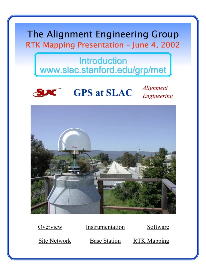
GPS at SLAC Engineering Overview Instrumentation Software Site - - PDF document
The Alignment Engineering Group The Alignment Engineering Group RTK Mapping Presentati RTK Mapping Presentation on June 4, 2002 une 4, 2002 Introduction Introduction www.slac.stanford.edu/grp/met www.slac.stanford.edu/grp/met