
- Prof. R. Nagarajan, CSRE , IIT Bombay
GNR 624: Water Resources and River basin management
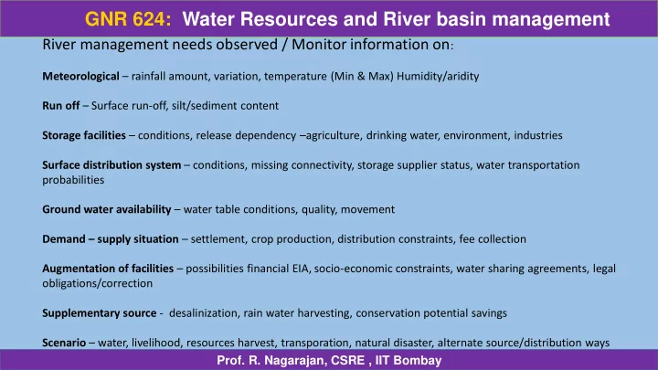
River management needs observed / Monitor information on:
Meteorological – rainfall amount, variation, temperature (Min & Max) Humidity/aridity Run off – Surface run-off, silt/sediment content Storage facilities – conditions, release dependency –agriculture, drinking water, environment, industries Surface distribution system – conditions, missing connectivity, storage supplier status, water transportation probabilities Ground water availability – water table conditions, quality, movement Demand – supply situation – settlement, crop production, distribution constraints, fee collection Augmentation of facilities – possibilities financial EIA, socio-economic constraints, water sharing agreements, legal
- bligations/correction
Supplementary source - desalinization, rain water harvesting, conservation potential savings Scenario – water, livelihood, resources harvest, transporation, natural disaster, alternate source/distribution ways