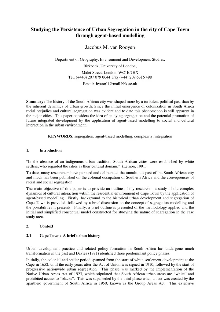
SLIDE 1 Studying the Persistence of Urban Segregation in the city of Cape Town through agent-based modelling Jacobus M. van Rooyen
Department of Geography, Environment and Development Studies, Birkbeck, University of London, Malet Street, London, WC1E 7HX
- Tel. (+440) 207 079 0644 Fax (+44) 207 6316 498
Email: hvanr01@mail.bbk.ac.uk Summary: The history of the South African city was shaped more by a turbulent political past than by the inherent dynamics of urban growth. Since the initial emergence of colonization in South Africa racial prejudice and cultural segregation was evident and to date this phenomenon is still apparent in the major cities. This paper considers the idea of studying segregation and the potential promotion of future integrated development by the application of agent-based modelling to social and cultural interaction in the urban environment. KEYWORDS: segregation, agent-based modelling, complexity, integration 1. Introduction “In the absence of an indigenous urban tradition, South African cities were established by white settlers, who regarded the cities as their cultural domain.” (Lemon, 1991). To date, many researchers have pursued and deliberated the tumultuous past of the South African city and much has been published on the colonial occupation of Southern Africa and the consequences of racial and social segregation. The main objective of this paper is to provide an outline of my research – a study of the complex dynamics of cultural interaction within the residential environment of Cape Town by the application of agent-based modelling. Firstly, background to the historical urban development and segregation of Cape Town is provided, followed by a brief discussion on the concept of segregation modelling and the possibilities it presents. Finally, a brief outline is presented of the methodology applied and the initial and simplified conceptual model constructed for studying the nature of segregation in the case study area. 2. Context 2.1 Cape Town: A brief urban history Urban development practice and related policy formation in South Africa has undergone much transformation in the past and Davies (1981) identified three predominant policy phases. Initially, the colonial and settler period spanned from the start of white settlement development at the Cape in 1652, until the early years after the Act of Union was signed in 1910, followed by the start of progressive nationwide urban segregation. This phase was marked by the implementation of the Native Urban Areas Act of 1923, which stipulated that South African urban areas are “white” and prohibited access to “blacks”. This was superseded by the third phase when an act was created by the apartheid government of South Africa in 1950, known as the Group Areas Act. This extensive
SLIDE 2
legislation assigned “racial groups” to different residential and business quarters in urban areas, as seen in Figure 1. This act had a devastating effect in Cape Town and led to the forced removal and relocation of well-established communities to newly developed housing estates.
Figure 1. Location of Designated “Group Areas” (source: City of Cape Town council)
The post-Apartheid government had to deal with an inherited spatial planning structure reflecting an illogical and fragmented planning system on a national scale. Hence, new legislation and initiatives were established to address these shortcomings. Watson (2002) highlights the concept of integrated development planning. However, in the current post-apartheid era segregation remains evident within the urban environment (see figure 2) and spatial patterns of racial inequality and limited access to economic opportunities persist (Christopher, 2001a).
Figure 2. Segregation Emphasized by the Metropolitan Spatial Development Framework of the City of Cape Town (source: City of Cape Town council)
SLIDE 3 The complex nature of the segregated city of Cape Town provides a boundless challenge for the spatial planners involved to find an optimum solution to the question of social division and racial disparity in opportunity. 2.2 Segregation and Modeling Although Reardon and O’Sullivan (2004) provide the means of quantifying the degree of segregation with neighbourhoods, there is little to be learnt from such analysis with regards to the behaviour or dynamics that lead to the outcome of segregation. The initial and general tendency is to view segregation as a predominantly negative phenomenon. Indeed this notion is also reinforced by the historical legislative process of enforcing racial segregation on the indigenous population of Cape
- Town. Communities were forcefully removed from the city and re-established away from
- pportunities and amenities enjoyed by others.
However, segregation can also be the result of preferential separation by culture or nationality. Goldberg (1998) stated the following: “Thus while the old segregation was ‘activist’ and for the most part monolithic, the new segregation is ‘conservationist’, preference driven, and class differentiated.” The fundamental basis of residential preference remains the subject of ongoing debate. Nevertheless, in the case of Cape Town and effectively most South African cities it is essential to preserve the distinction between preference and discrimination. Residential choice may be guided by preference as
- pposed to involuntary segregation by discrimination and economic constraint. Even so,
comprehensive review of the issues is beyond the scope of this discussion. In summary, preferential segregation is complex in nature and emerges predominantly from social psychology, group dynamics and also the history of racial and ethnic relations (Clark and Fossett, 2008). Hence, the rationale for ever-increasing interest in social simulation and segregation modelling is quite evident. The economist, Thomas Schelling (1971, 1978), produced a series of papers in which he proposed a remarkable model exhibiting the self-formation of neighbourhoods based on the preference of people to live with “their own type”. In these models the micro-level preferences of individuals provide for a phenomenal outcome on a macro level. The following section provides a brief layout of the proposed methodology behind the conceptual model, with Schelling’s concept as underlying basis. 3. Methodology The objective of the study is to explore the complex dynamics of racial and cultural segregation within the city of Cape Town. The intention is to apply Schelling’s idea of “preferential” segregation modelling to the case study area and provide possible research expansion by considering in addition the phenomenon of segregation by constraint, as is evident in the case of Cape Town. The screenshot presented by Figure 3 shows an example of segregation modelling undertaken by Crooks (2008). It exemplifies the fact that agent-based modelling allows for the capturing of a fairly large range of agent types and behaviour and also explores non-linear interaction between these
- agents. Furthermore, Crooks, Castle and Batty (2008) emphasized that models should be based on
theory and be able to provide ‘what-if’ scenarios as a translation of theory into a testable format.
SLIDE 4
Figure 3. Residential Segregation Model (source: Dr Andrew Crooks, George Mason University)
It was decided to utilize NetLogo (Wilensky, 1999) as modelling environment for the study, due to its suitability for modelling complex systems developing over time. The environment for the conceptual stage of the model will represent reality at a micro level and vector GIS data will be applied at a neighbourhood scale. Figure 4 provides an example of the GIS data that was obtained from the Cape Town city council. However, the neighbourhood structure in this report is presented in a more abstract form for the purpose of simplicity.
Figure 4. Neighbourhood Example in GIS (source: City of Cape Town council)
For this particular study two different cultural groups of agents are constructed. Figure 5 shows two neighbourhoods (red and blue) for these cultural groups, divided by undeveloped land (purple). The movement of these two groups of people will be simulated and preference included at a later stage. The figure also indicates two existing train stations, which will play a role in the basic simulation of movement towards transport nodes.
SLIDE 5
Figure 5. Abstract Neighbourhood Areas in Netlogo
Behaviour and movement patterns for the agents of both groups will be determined predominantly by their cultural background. Figure 6 shows how agents are set up at an initial stage where they only move around in their own neighbourhoods and towards the stations in their own neighbourhoods.
Figure 6. Agent Movement within Neighbourhood
The next step was the addition of a third station to present possible future development within the undeveloped area. Figure 7 indicates how agents choose to move to the closest station, regardless of the fact that they might need to leave their own areas to reach the new station. The model also allows for counters to be added keeping track of the number of people entering each station.
SLIDE 6
Figure 7. Agent Movement by Rules of Distance
The simulation process is now enhanced by the addition of the preference of each agent to stay in the vicinity of his or her own culture and use local transport services rather than approach the new station where interaction with other cultural groups might be experienced. Figure 8 indicates a slider (in green), which indicates the degree of preference of an agent for interaction with his or her own culture. The preference in this figure is set to high and in the counter for the new station (UU Station) it is evident that only two people entered the station.
Figure 8. Agent Movement – High Degree of Preference to Own Culture
In contrast to this phenomenon, the slider in Figure 9 is set to a very low preference and it is evident that more than a 100 agents from both cultural groups used the new station, as they have less preference in remaining within their own cultural group.
SLIDE 7
Figure 9. Agent Movement – Low Degree of Preference to Own Culture
It is intended for this conceptual model to prove that specific rules determine that the agents of each cultural group will move and interact in accordance with their preference and also constraints. 4. Conclusion The intention of this study is to explore the dynamics of urban segregation within the city of Cape Town, by modelling social behaviour and interaction at a local scale and specifying what emergent patterns might be present at a larger scale. Agent-based modelling was identified as the most appropriate method for conducting this “bottom-up” approach in social simulation. The collective preferences of different cultural groups may provide better insight for integrated development decision-making.
SLIDE 8
5. Acknowledgements Department of Geography, Environment and Development Studies. Birkbeck, University of London. Funding body Joana Barros, PhD supervisor and mentor City of Cape Town council. Provision of census, statistical and GIS data. MIT Media Lab Daniel Wendel, advisor on modeling techniques 6. References Clark A V and Fossett (2008). Understanding the social context of the Schelling segregation model. PNAS, 105(11), 4109-4114. Christopher A J (2001a). Urban segregation in post-apartheid South Africa. Urban Studies, 38(3), 449–466. Crooks A T (2008). Key Challenges in agent-based modelling for geo-spatial simulation, Centre for Advanced Spatial Analysis (University College London). Working Paper 121, London. Crooks A T, Castle C J E and Batty M (2008). Key challenges in agent-based modelling for geo- spatial simulation. Computers, Environment and Urban Systems, 32(6): 417-430. Davies RJ (1981). The spatial formation of the South African city, GeoJournal, Supplementary Issue 2, 59-72. Gilbert N (2008). Agent-based models. Series: Quantitative Applications in the Social Sciences, SAGE Publications. Gilbert N and Troitzsch K G (2005). Simulation for the social scientist (2nd Edition). Open University Press, UK. Goldberg D T (1998). The new segregation. Race and Society, 1(1), 15-32. Lemon A (1991). Homes apart: South Africa's segregated cities. Indiana University Press,. Bloomington. Reardon S F and O’Sullivan D (2004). Measures of spatial segregation. Sociological Methodology, 34 (1), 121–162. Schelling T C (1971) Dynamic models of segregation, Journal of Mathematical Sociology, 1, 143– 186. Schelling T (1978). Micromotives and macrobehaviour. New York, WW Norton. Simon H A (1996). The Sciences of the Artificial. MIT Press, Cambridge, MA. Technical Report (1996). The Metropolitan Spatial Development Framework. City of Cape Town Council. Watson V (2002). Change and continuity in spatial planning: metropolitan planning in Cape Town under political transition, Springer. Wilensky, U. 1999. NetLogo. Center for Connected Learning and Computer-Based Modelling, Northwestern University. Evanston, IL.
SLIDE 9
Wilkinson P (2000). City profile: Cape Town. Cities: The International Journal of Urban Policy and Planning 17(3), 195-206. Biography Jacobus van Rooyen is currently a PhD researcher at Birkbeck, University of London. His research focuses on the application of agent-based modelling concepts to explore complex urban dynamics. Further interest involves the study of ancient cities and the phenomena of urban emergence and evolution.