
SLIDE 1
Developing a network of Developing a network of greenways in metro - - PowerPoint PPT Presentation
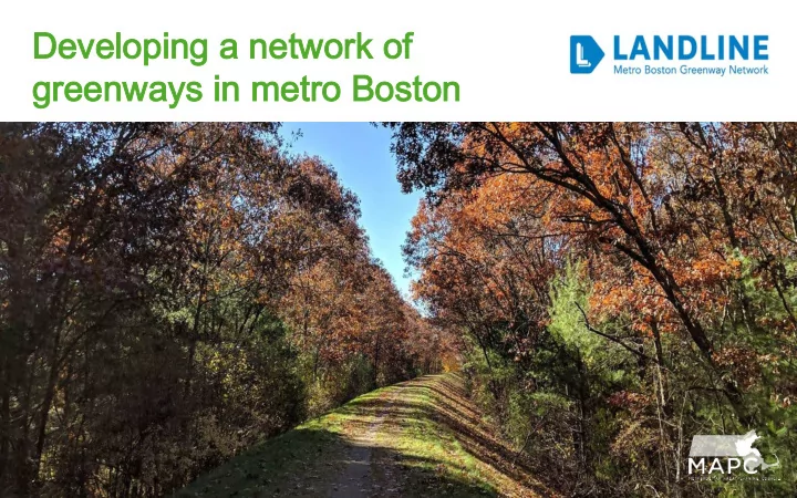
Developing a network of Developing a network of greenways in metro Boston greenways in metro Boston Iconic Multi Multi-use use T rails Charles River Esplanade - 1910 Minuteman Commuter Bikeway - 1993 Emerald Necklace (Olmsted) - 1878
Charles River Esplanade - 1910 Minuteman Commuter Bikeway - 1993 Emerald Necklace (Olmsted) - 1878
Black Heritage & Freedom Trail 1951 Bay Circuit Trail, 1928 Revere Beach Boardwalk, 1896
Snapshot Inventory/Mapping (2011 to present) Collaborate Develop a coalition (2015) Brand Develop system branding and mark (2016) Vision Develop a vision plan (2018) Involve Series of place based charrettes and community meetings Immerse Summer ride and walk series (2014 to present) Invest Kickstart greenway projects in municipalities Install Develop wayfinding
trailmap.mapc.org
Shared-use paths Protected bike lanes Bike Lanes Foot Trails
Massachusetts - MassDOT, DCR, MWRA
regional
900 milesof regional greenways
(firm surface accessible) ○ 46% completed
500 milesof regional foot trails
○ 60% completed
92% of region’s 3.1 million population within 1 mile of a LandLine corridor when completed
MAPC Region
Completed Design/Construction Envisioned Foot Trails
230 miles ○ Proposed in 1929 ○ Managed by the AMC
80 miles ○ Proposed in 2013 ○ Regional walks in 2013/2014
Middlesex Fells Chelsea Creek
advocates and others together on a bike ride
projects, and advocate for new ones
300 P People le a attend t trail o l opening There s should ld b be a a trail h l here! Carriag age r road
bished i in c center of B Bostone
Scou
ROW f for t trai ail l extension Neighbor
Greenways Boule levar ard r replac lacing o
bridgee
member communities, and work to initiate new projects
Rail Trails
Complete Streets
group to identify new extensions
○
East to Winthrop
○
North to Revere Beach
○
Rail trail along Chelsea Creek
Const stitution B Beach Chelsea C Creek Revere Be Beach Winthrop
Rail l trai ail a l agreement u under n negot
Scou
ROW f for t trai ail l extension Current T Terminus a at Constitution
ach
provide public access and trail improvements
Connecting 4 historic aqueducts west of Boston
100 miles between Boston and Northampton
Solidify the network through identification and wayfinding
○
Location and direction
○
Destinations
○
Trail Name