
SLIDE 1
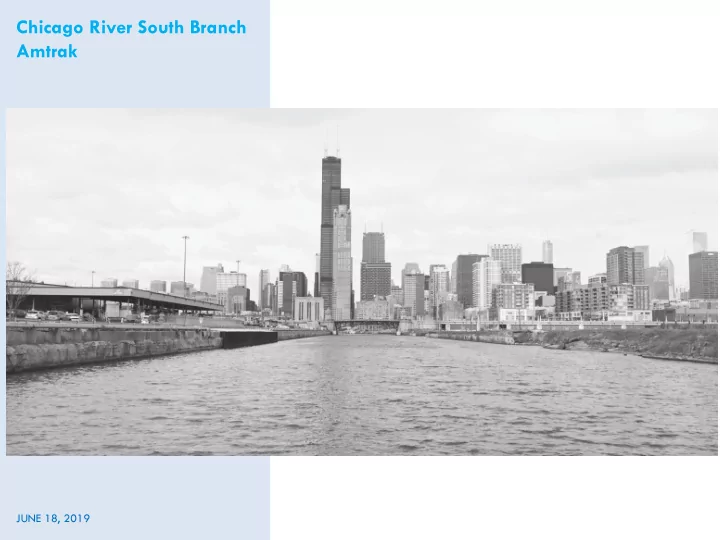
Chicago River South Branch Amtrak
JUNE 18, 2019
Chicago River South Branch Amtrak JUNE 18, 2019 South Branch - - PowerPoint PPT Presentation
Chicago River South Branch Amtrak JUNE 18, 2019 South Branch Chicago River Context New Amtrak seawall Related 78 Development site Amtrak proposed seawall reconstruction IDNR Public Notice Amtrak proposed seawall reconstruction of
Chicago River South Branch Amtrak
JUNE 18, 2019
South Branch Chicago River Context
New Amtrak seawall Related 78 Development site
Amtrak proposed seawall reconstruction
Required approvals:
Amtrak permit - existing condition
Amtrak permit - proposed improvements
View of existing conditions
View of existing concrete seawall and roadway
View of constructed portion of seawall
Chicago River Design Guidelines Recommendations
Consider implementing techniques outlined in the recently updated Chicago River Design Guidelines that emphasize improving the ecology and health of the river Recommendations: #1: Allow for wetland or habitat shelves to be attached to the seawall #2: Incorporate green infrastructure within the 9ft setback to improve stormwater management next to the river and provide a landscaped buffer
Amtrak Response
Approx 6ft - 9ft space between new seawall and edge of road pavement to incorporate landscaping
Example of Floating habitat in front of Waste Management
impacts on health and well-being
guide decision-making to mitigate negative impacts or amplify positive
their waterfront planning (i.e. Minneapolis, MN; Rochester, NY; Seattle, WA)
– What is the proposed change? – What are the short/long term outcomes? – Are the outcomes direct or indirect? – What are the health outcomes? – Who is impacted?
Motor vehicle crashes
– Short term outcomes – Long term outcomes – Health Impacts – Most impacted populations