
SLIDE 1
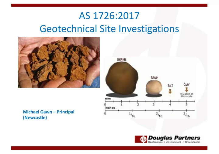
AS 1726:2017 Geotechnical Site Investigations
Michael Gawn – Principal (Newcastle)
AS 1726:2017 Geotechnical Site Investigations Michael Gawn - - PowerPoint PPT Presentation
AS 1726:2017 Geotechnical Site Investigations Michael Gawn Principal (Newcastle) New Standard AS 1726:2017 Geotechnical Site Investigations Contents of Presentation So Whats Different Changes to DP Logging Review of
Michael Gawn – Principal (Newcastle)
DP Notes AS 1726:2017
Different thresholds for terminology DP notes being changed to reflect new code
Note: Different thresholds for secondary constituents in coarse as opposed to fine soils. This reflects that it takes a lot more coarse material to change the behaviour
Bore/ Pit %Silt and clay %Clay %silt %Sand %Gravel Description to AS1726:2017 Classification Sample 11 10% 10% 0% 90% 0% SAND with clay SP/SC Sample 12 35% 35% 0% 65% 0% Sandy CLAY CL,CI or CH Sample 13 60% 50% 10% 40% 0% Sandy Clay with silt CL,CI or CH -see note 2 Sample 14 80% 80% 0% 20% 0% CLAY with sand CL, CI, CH, ML or MH
SAND with clay Sandy CLAY Sandy CLAY
10% fines 35% fines 60% fines 80% fines
CLAY with sand
Note: Medium not Intermediate
10 20 30 40 50 60 70 20 40 60 80 100 PI (%) LL (%)
CL-ML
CL CI CH ' A ' L i n e
OL or ML OH or MH
Key: C denotes Clay M denotes Silt O denotes Organic Soil – Only three terms used, as follows:
– No use of “humid” or “saturated”
– Moist, dry of plastic limit (w<PL) – Moist, near plastic limit (w≈PL) – Moist, wet of plastic limit (w>PL) – Wet, near liquid limit (w ≈LL) – Wet, wet of liquid limit (w>LL)
DP will use description in brackets only
Gravel Dominated Soils GW – well graded gravel GP – poorly graded gravel GM – gravel-silt mixture GC – gravel-clay mixture Sand Dominated Soils SW – well graded sand SP – poorly graded sand SM – sand-silt mixture SC – sand-clay mixture Note: Fines contents between 5% and 12% to have dual classification – eg GP-GM
Silt Dominated Soils ML – low plasticity silt MH – high plasticity silt OH – organic silt Clay Dominated Soils CL – low plasticity clay CI – medium plasticity clay CH – high plasticity clay OH – organic clay of medium to high plasticity Pt – peat
REMEMBER: RMS (NSW) has its own weathering classification system XW? SW?
No longer Extremely low strength rock Now includes UCS ranges Material with strength less than “Very Low” shall be described using soil
be noted, if relevant
changes to DP procedures agreed to by Board
– Part A – Introduction and Fundamentals (principles of soil/rock behaviour) – Part B – Collection (how we record data) – Part C – Data Entry (gINT, DigiPen) – Part D – Presentation (how data is to be presented)
– No longer double up of strength graphic and description – Changes to descriptors (pale rather than light) – Main soil type in uppercase, not both (eg clayey SAND)
‘probably’
– (SP Sand, trace silt, grey, medium grained, medium dense; dry; marine; Tomago Sand Beds)
Enter details and copy percentage passing from lab results Enter Atteberg results, if any
Provides Soil portions Give soil description and Unified Soil Classification Plasticity Curve Grading proportions Presents data with comments on lab testing
Input depth, Unit, Rock Type and PL values Enter UCS/PL ratio and adopted multiplier (guidance in box) Calculates estimated UCS and ultimate end bearing Provide range of estimated UCS based
Colour codes rock class (based on Pells et al) and using strength only – must consider defects/seams
Thanks to the following people who are driving and assisting in the innovations to our procedures: Grahame Wilson Will Wright Tim Swavley Heidi Sirianni