
SLIDE 1
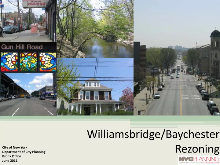
Williamsbridge/Baychester Rezoning
City of New York Department of City Planning Bronx Office June 2011
Williamsbridge/Baychester Rezoning City of New York Department of - - PowerPoint PPT Presentation
Williamsbridge/Baychester Rezoning City of New York Department of City Planning Bronx Office June 2011 Location North central Bronx Community District 12 5.5 square miles Rezoning Area .71 square miles 181-block
City of New York Department of City Planning Bronx Office June 2011
between East 233rd and East Gun Hill (north-south) Bronx River Parkway and New England Thruway (west-east)
2
LACONIA 3
LACONIA 4
5
6
Detached single-family home and a multifamily apartment building on East 220th Street (R6 district) Detached single-family home adjacent a senior housing complex on East 221st east of White Plains Road (R6 district) Multifamily apartment, semi- detached and detached buildings,
(R4 district) Large Detached single- family home on East 219th Street (R6 district) Attached multifamily homes on De Reimer Avenue (R4 district)
7
North Bound on White Plains Road at East 211th Street looking north (~100’ – 170’) Bronxwood Avenue and 227th Street (100’)
1 2
2 1
8
Main Existing Zoning Districts:
R4, R5, and R6 R7-1, C8-1 Commercial Overlays C1-2, C2-2
9
Woodlawn Cemetery
R4 Districts:
commercial allowed only in overlay districts
feet
10 1 2 1 2
R5 Districts:
commercial allowed only in overlay districts
11 1 2 2 1
R6 Districts:
commercial allowed only in overlay districts
height limit
12 1 2 1 2
community
services
commercial opportunities
services and private businesses
corridors
development, street wall
development in lower residential areas 13
14
15
16
R4, R4A, R5, R5A: Lower Density Contextual Rezoning Reinforce and protect existing context
17
R5, R5D, R6A: Reflect and reinforce existing residential and local commercial patterns Allow some flexibility for improvements
18
R6, R6A, R7A: Encourage contextual growth along major corridors and by transit nodes
19
R4A:
feet
R4:
feet
Grace and Hammersley Avenue 229th and Barnes Avenue
20 {neighborhood lower density}
R5A:
R5:
Olinville Avenue, south of 219th Lurting Avenue, south of Gun Hill Road
21 {neighborhood lower density}
R5D:
Laconia and 212th street Typical R5D – Rockaway Park
22 {neighborhood contextual}
R6A:
feet
R6:
space ratio determine building envelope
Tilden Street between Bronxwood and Barnes Avenues
23 {neighborhood contextual}{growth opportunities}
R6: Height Factor
envelope
Looking north on EL Train above White Plains Road and E. 212th
24 30 feet
R7A:
65/80 feet
Carpenter Avenue and
Typical R7A– Harlem Typical R7A– Washington and E. Tremont Avenues
25 {growth opportunities}
R7A: Contextual District
White Plains Road and E. 211th Street East Gun Hill Station at White Plains Road
26 90 feet
removes infill provisions on 44 blocks along Paulding Ave
27
R4 Districts: Maximum FAR - .90 With Infill FAR – 1.35 R5 Districts: Maximum FAR – 1.25 With Infill FAR – 1.65
R4 Districts: Maximum FAR - .90 With Infill FAR – 1.35 R4 Districts: Maximum FAR – 1.25 With Infill FAR – 1.65
28
R4 Districts: Maximum FAR - .90 With Infill FAR – 1.35 R4 Districts: Maximum FAR – 1.25 With Infill FAR – 1.65
29
R4 Districts: Maximum FAR - .90 With Infill FAR – 1.35 R4 Districts: Maximum FAR – 1.25 With Infill FAR – 1.65
30
from 150’ to 100’ where appropriate
31
32
City of New York Department of City Planning Bronx Office June 2011