
SLIDE 1
Rezoning 101
Understanding Zoning and Charlotte’s Rezoning Process
Ni Nick ck Tosco February 7, 2020
Rezoning 101 Understanding Zoning and Charlottes Rezoning Process - - PowerPoint PPT Presentation
Rezoning 101 Understanding Zoning and Charlottes Rezoning Process Ni Nick ck Tosco February 7, 2020 Agenda What is Zoning? Background The Zoning Ordinance The Zoning Map What is Rezoning? Background Types of
Ni Nick ck Tosco February 7, 2020
www.poynerspruill.com
www.poynerspruill.com
www.poynerspruill.com
Charlotte’s first Zoning Ordinance and Map in 1947 had five zoning districts:
District (red stripe)
Business (red)
www.poynerspruill.com
www.poynerspruill.com
www.poynerspruill.com
Setbacks and side/rear yards are measured from the right of way or adjoining parcels.
R-8MF R-12MF R-17MF R-22MF R-43MF (a) Maximum Residential Density (Dwelling units per acre) 1 8.0 12.0 17.0 22.0 43.0 (b) Maximum floor area ratio for nonresidential buildings 9 .50 .50 .50 .50 .50 (c) Minimum lot area (square feet) 2
3,500 3,500 3,500 3,500 3,500
6,500 6,500 6,500 6,500 6,500
9,500 9,500 9,500 9,500 9,500
11,500 11,500 11,500 11,500 11,500
11,500 11,500 11,500 11,500 11,500
12,000 12,000 12,000 12,000 12,000 (d) Minimum lot width (feet)
40 40 40 40 40
dwellings 55 55 55 55 55
55 55 55 55 55
80 80 80 80 80 (e1) Minimum setback from the right-of-way along a designated thoroughfare and public streets (feet) 3,11,13,14
20 20 20 20 20 and quadraplex dwellings
30 30 30 30 30 planned multi-family developments (except as provided for in Section 9.303(19)(f))
MAXIMUM HEIGHT FOR RESIDENTIAL BUILDINGS IN R-8MF AND R-12MF ZONING DISTRICTS7 Building Type Base Maximum Average Height (feet) Maximum Average Height at the Front Building Line (feet) Height Ratio
RESIDENTIAL 40’ MEASURED AT THE REQUIRED SIDE YARD LINE. 48’ One additional foot of height is allowed for each additional one foot in distance the portion of the building is from the required side yard line.
The required width of a buffer and the number of planted trees or bushes varies depending on the size of the property as well as the type of adjacent uses or structures.
OFF STREET PARKING
www.poynerspruill.com
www.poynerspruill.com
www.poynerspruill.com
www.poynerspruill.com
www.poynerspruill.com
www.poynerspruill.com
www.poynerspruill.com
➢Residential > Business > Industrial.
➢Residential (R-8, R-8MF, UR) ➢Nonresidential (Business, Office, Institutional, and Industrial) ➢Mixed (Residential and Non-Residential).
www.poynerspruill.com
Types of Rezoning
➢“Charlotte’s Got A Lot” ➢Rare ➢Conventional v. floating
➢Common ➢Flexible ➢Site specific
Overlay districts are applied over an underlying zoning district. Parcels with conditional plans (e.g., NS and MUDD-O) have conditional plans which supersede overlay districts.
www.poynerspruill.com
12020 Rezoning Schedule (Application Deadlines January 2020 - December 2020)
Highlighted cells indicate holidays (deadline is typically next businessday) Application Deadline 1st full review complete, and comments sentto petitioner Petitioner/ staff comment review meetings held by this date Petitioner’scommunity meeting held by this date (include report in next submittal) 2nd site plan submittal deadline (if fullreview needed) 2nd full review complete, and comments sentto petitioner 3rd site plan submittal deadline (if full review needed) 3rd full review complete, and comments sent to petitioner Submittal deadline requestingnextPH Determinationon cases cleared for next PH 1st Legal ad review (last day to defer prior to advertising) 1stLegalAddueto clerk Public Hearing Submittal deadline for revised site plans forZC Zoning Committee Meeting CityCouncilDecision 4th Mon except holidays, then isprevious businessday 2 weeks before submittal deadline for PH , if holiday bump tonext work day week after comments sent, by second Wednesday after submittal Friday before next submittal 5 weeks before the public hearing, if holiday previous businessday 2 weeks after submittal , unless holiday then next business day 5 weeks before the public hearing unless holiday then previous business day 2 weeks after 2nd submittal, unless holiday then next business day 5 weeks prior to PH, if holiday previous businessday 11 days after submittal Mon prior to ad due Sent to Clerk, typically a Tuesday www.poynerspruill.com
Participants
➢ Developer/owner ➢ Site designer or landscape architect ➢ Traffic engineer ➢ Zoning attorney/agent
➢ Planning ➢ Other City Departments
➢ City Council ➢ Zoning Committee
➢ Nearby property owners ➢ Businesses ➢ Media
www.poynerspruill.com
www.poynerspruill.com
www.poynerspruill.com
➢Acella process
➢Conventional = $ 5,090 ➢Conditional Minor = $ 6,910 ➢Conditional Major = $ 14,770
Complete All Fields (Use additional pages if needed) Property Owner: Owner's Address: City, State, Zip: Date Property Acquired: Property Address: Tax Parcel Number(s): Current Land Use: Size (Acres): Existing Zoning: Proposed Zoning: Overlay: Tree Survey Provided: Yes:____ N/A:_______ Required Rezoning Pre-Application Meeting* with: ______________________________________________________ Date of meeting: _______________ (*Rezoning applications will not be processed until a required pre-application meeting with a rezoning team is held.) Name of Rezoning Agent Name of Petitioner(s) Agent's Address Address of Petitioner(s) City, State, Zip City, State, Zip Telephone Number Fax Number Telephone Number Fax Number E-Mail Address E-Mail Address
Signature of Property Owner Signature of Petitioner __________________________________________ (Name Typed / Printed) (Name Typed / Printed)
CITY OF CHARLOTTE
Petition #: _____________________ Date Filed: _____________________ Received By: ___________________ For Conditional Rezonings Only: Requesting a vesting period exceeding the 2 year minimum? Yes/No. Number of years (maximum of 5): __________ Purpose/description of Conditional Zoning Plan: _______________________________________________________ ______________________________________________________________________________________________ ______________________________________________________________________________________________
Tip- Color code the site layout so it’s easier to understand the design of the proposed development.
www.poynerspruill.com
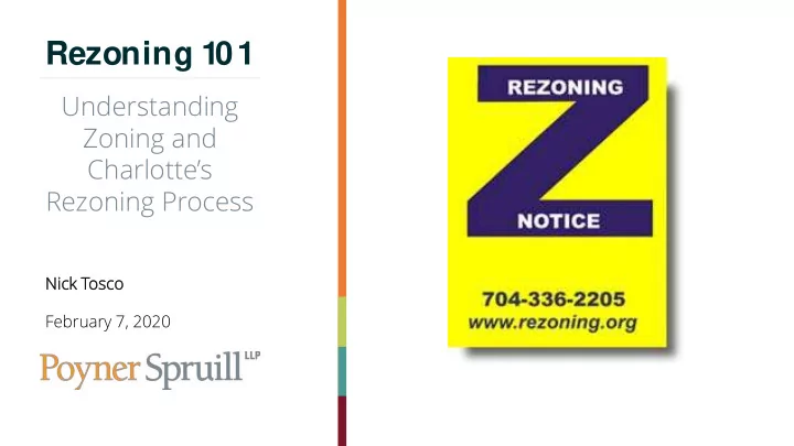
Website- HTTP://Rezoning.org/
www.poynerspruill.com
www.poynerspruill.com
www.poynerspruill.com
www.poynerspruill.com
www.poynerspruill.com
Nick Tosco
301 S. College Street, Suite 2900 Charlotte, NC 28202 D: 704.342.5275 F: 704.342.5264 NTosco@poynerspruill.com www.poynerspruill.com