
SLIDE 1
RESILIENT NEIGHBORHOODS: Broad Channel Resiliency Rezoning C 170256 - - PowerPoint PPT Presentation
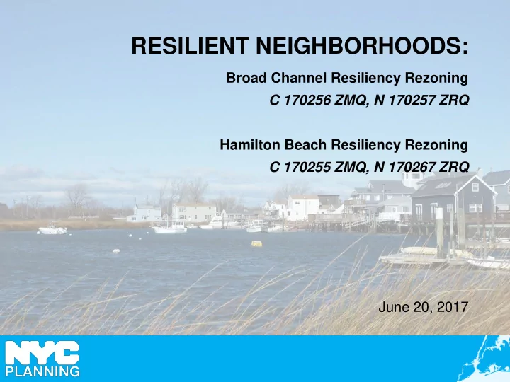
RESILIENT NEIGHBORHOODS: Broad Channel Resiliency Rezoning C 170256 ZMQ, N 170257 ZRQ Hamilton Beach Resiliency Rezoning C 170255 ZMQ, N 170267 ZRQ June 20, 2017 DCP Climate Resiliency Initiatives Flood Text (2013) initial, SRNR (2015)
2
Flood Text II (2018) to be updated and made permanent
SIRR Report (2013) long-term, citywide resiliency framework PFIRM + Freeboard (2012) DOB requires most restrictive map; additional elevation Executive Order 230 (2012) mayoral override of zoning One New York (2015) moves from recovery to future resiliency
Flood Text (2013) initial, temporary regulations building off EO 230 SRNR (2015) provides additional zoning relief to expedite recovery
Neighborhood Studies (2014-17) will inform the text and local rezonings
2018
Build it Back (2015) lessons learned in rebuilding effort inform zoning changes
Local Rezonings (2017) in vulnerable areas of Queens and Staten Island
Hamilton Be ac h and Broad Channe l, Que e ns State Buyout Are as, State n Island
Resilient Retail & Resilient Industry (2014-17) will inform the text
3
measured from the Design Flood Elevation (DFE), and in some cases, a higher reference point
with the latest building standards (raised entryways, mechanical space, floodproofed areas)
conforming buildings, giving them wide latitude to retrofit and rebuild.
*Intended to be updated based on lessons learned, expires 1 year after adoption of PFIRMs.
4
Special rules for select neighborhoods to accelerate recovery from Hurricane Sandy by: 1. Simplifying the process for documenting non-compliances for Sandy-damaged homes, 2. Remove disincentives for property owners to make resilient investments, by allowing additional habitable space to be elevated to comply with flood-resistant construction standards, and 3. Establishing a new zoning envelope, so reconstructed homes are more accurately reflects the existing cottage-style neighborhood character.
Hurricane Sandy Inundation Areas Neighborhood Recovery Area
*Text is intended to be temporary, and expires in 2022. Staten Island Brooklyn/Queens
5
Neighborhood Studies:
6
7
Citywide Population 400,000 Buildings 71,500
*Numbers rounded for clarity.
Sources: MapPLUTO; FEMA 2013 Preliminary Flood Insurance Rate Map
8
Hamilton Beach Broad Channel
9
Adjust zoning to allow buildings to retrofit, by providing flexibility and removing obstacles to resiliency investments.
Encourage construction of new development built to a higher standard of flood protection.
Zoning and other tools should limit exposure to damage and disruption by limiting the density future development.
10
11
226 Buildings
MHHW + 11” (25th percentile projection)
368 Buildings
MHHW + 21” (75th percentile projection)
744 Buildings
MHHW + 30” (90th percentile projection)
Broad Channel: 2050s Sea Level Rise Projections
12
Special Coastal Risk District
13
14
65 Buildings
MHHW + 11” (25th percentile projection)
178 Buildings
MHHW + 21” (75th percentile projection)
310 Buildings
MHHW + 30” (90th percentile projection)
Hamilton Beach: 2050s Sea Level Rise Projections
15
Special Coastal Risk District
16