
SLIDE 1
2018/ 10/ 02 1
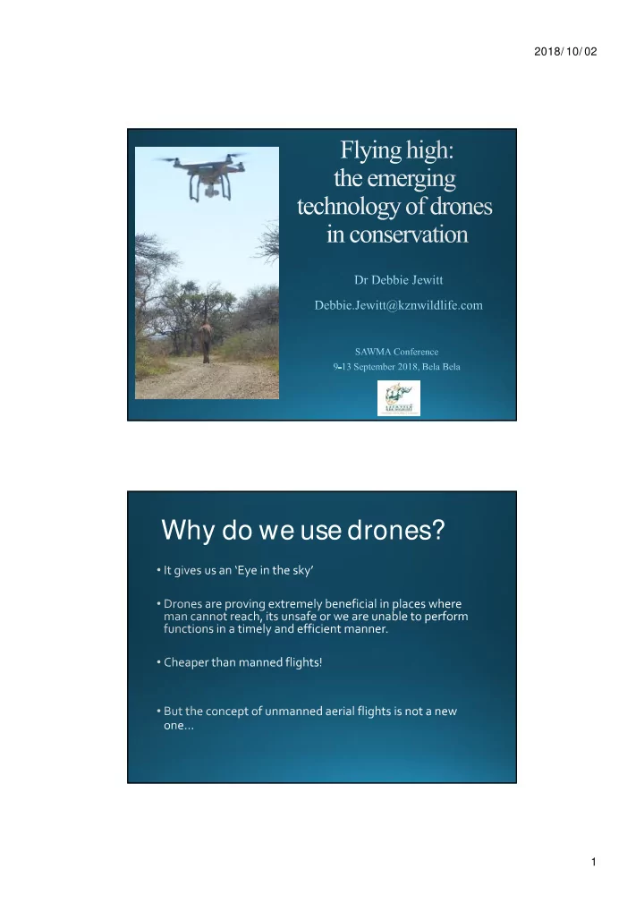
Why do we use drones? 1 2018/ 10/ 02 https:/ / - - PDF document
2018/ 10/ 02 Why do we use drones? 1 2018/ 10/ 02 https:/ / commons.wikimedia.org/ wiki/ File:1906_S an_Francisco_earthquake_aftermath_panorama.jpg 1906 San Francisco earthquake Photos by George Lawrence Camera weighed 635 kg Glass plates:
2018/ 10/ 02 1
2018/ 10/ 02 2
https:/ / commons.wikimedia.org/ wiki/ File:1906_S an_Francisco_earthquake_aftermath_panorama.jpg http://robroy.dyndns.info/lawrence/Images/early-cradle.jpg
Camera weighed 635 kg Glass plates: 2.4 x 1.4 m
https:/ / commons.wikimedia.org/ wiki/ File:Three_pigeons_with_cameras.jpg
2018/ 10/ 02 3
By War Office official photographer, Horton (Capt) [Public domain], via Wikimedia Commons https:/ / commons.wikimedia.org/ wiki/ File:Winston_Churchill_and_the_S ecretary_of_S tate_for_War_waiting_to_see_the_launch_of_a_de_Havilland_Queen_Bee_radio- controlled_target_drone,_6_June_1941._H10307.jpg
http://www.businessinsider.com/uav-or-commercial-drone-market-forecast-2015-2?IR=T
2018/ 10/ 02 4
2018/ 10/ 02 5
Spot 6 1.5m Albris 1 cm
Water Management Areas
2018/ 10/ 02 6
2018/ 10/ 02 7
L Wijnberg
2018/ 10/ 02 8
2018/ 10/ 02 9
2018/ 10/ 02 10
50 100 150 200 250 Traditional 2001 UAV 2017
Cape vulture population Individuals
10 20 30 40 50 60 70 80 90 100 Traditional 2001 UAV 2017
Cape vulture nests Nests
Increase due to a more accurate means of monitoring rather than an actual increase in bird numbers.
2018/ 10/ 02 11
The “Green-backed Jersey Vulture” (no animals were harmed in this testing!)
D Jewitt
2018/ 10/ 02 12
D Jewitt
2018/ 10/ 02 13
Drone survey Ground based survey D Jewitt
2018/ 10/ 02 14
Courtesy of Wynand Uys
2018/ 10/ 02 15
Eland in the Drakensberg
Courtesy of D Wood
2018/ 10/ 02 16
image
UAV
Parrot fish Sea cucumber Multiple coral genera Shark
Chirayath and Earle, 2016, Aquatic Conservation: Marine and Freshwater Ecosystems 26:237-250.
2018/ 10/ 02 17
Courtesy of Dennis Wood
2018/ 10/ 02 18
Coutersy of S Richert Courtesy of S Richert Courtesy of S Richert
2018/ 10/ 02 19
2018/ 10/ 02 20
D Jewitt and L Wijnberg
2018/ 10/ 02 21
Courtesy of Dennis Wood
2018/ 10/ 02 22
Giraffe cow and calf: 85m Rhinos: 60m Hippos: 30m
Hodgson and Koh 2016, Current Biology 26.
2018/ 10/ 02 23
https://www.thesun.co.uk/wp-content/uploads/2017/02/nintchdbpict000300719184.jpg?strip=all&w=960
2018/ 10/ 02 24
Area Application Drones Manned Flights Satellites
2018/ 10/ 02 25
The Nano Hummingbird drone is used for surveillance by DARPA. Credit: Columbia University
made smaller, cheaper and more capable.
Artificial Intelligence
Allan et al 2018, Ecosphere 9
2018/ 10/ 02 26
Allan et al 2018, Ecosphere 9
Drone transport Drone ambulance Drone flower pollination
How we do business will fundamentally change
2018/ 10/ 02 27
https://www.freelancepictures.com/Doemasters/Jokes/i-5wx6Ldn