
SLIDE 1
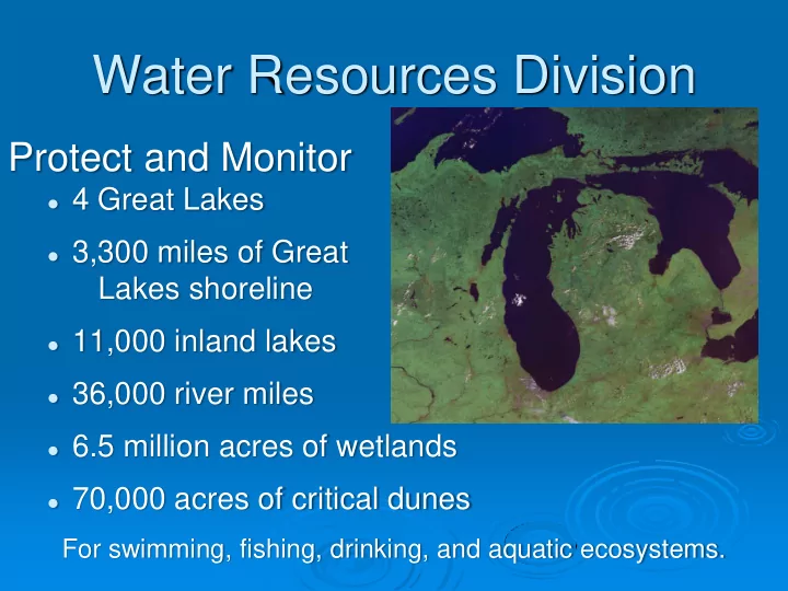
Water Resources Division
Protect and Monitor
4 Great Lakes 3,300 miles of Great
Lakes shoreline
11,000 inland lakes 36,000 river miles 6.5 million acres of wetlands 70,000 acres of critical dunes
For swimming, fishing, drinking, and aquatic ecosystems.