
SLIDE 1
Water Resources Applications Area Bradley Doorn WSWC Meeting, St. - - PowerPoint PPT Presentation
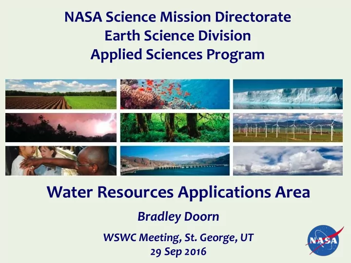
NASA Science Mission Directorate Earth Science Division Applied Sciences Program Water Resources Applications Area Bradley Doorn WSWC Meeting, St. George, UT 29 Sep 2016 Water Resources Applied Research Examples of Water Resources The Water
2
RECENT SOLICITATIONS
9 Projects ($9M over 3 years)
Resource Anomalies 9 Projects ($12M over 4 years)
Water Use Awards expected Dec 2016 ($9M over 3 years) The Water Resources program addresses concerns and decision processes that are related to water availability, water forecasts, and water quality. The goal of the Water Resources theme is to apply NASA satellite data to improve the Decision Support Tools (DSTs) of user groups that manage water resources. The Water Resources theme partners with Federal agencies, academia, private firms, and international organizations.
PARTNER APPLIED WATER INFO State of California Ag Water Use Colorado Basin River Forecast Ctr Snow Water Equivalent US Drought Monitor Ground Water Estimates USDA Soil Moisture Indicators G20 Ag Ministers Crop Yield Monitoring Raleigh, NYC, and Denver Water Quality Indicators NOAA-NESDIS Flash Drought Triggers USDA, US Foreign Services Global Reservoir Hts. Examples of Water Resources Projects
NASA Satellite Irrigation Management Support: Mapping Crop Water Requirements to Assist Growers in Optimizing Water Use
NASA SIMS web and mobile data services puts irrigation demand across 8 million acres of farm land directly into the hands of farmers and water managers
PROJECT TEAM: NASA Ames Research Center, California Dept. of Water Resources, Western Growers Association, California State University, Univ. of California Cooperative Extension, Desert Research Institute, USDA Ag. Research Service, USGS, Booth Ranches, Chiquita, Constellation Wines, Del Monte Produce, Dole, E & J. Gallo, Farming D, Fresh Express, Pereira Farms, Ryan Palm Farms
For more information, contact forrest.s.melton@nasa.gov, or visit https://c3.nasa.gov/water/projects/1/ Terra Satellite Landsat 8 California agricultural sector produced $46.4b In 2013 Students work hand in hand with growers to validate the system and quantify benefits
Lake Heights from Radar Altimetry (Lake Urmia, NW Iran)
G-Realm Project, Charon Birkett, University of Maryland
MODIS (UR images) and Landsat 8 (LR images) to detect water quality changes.
Red coloration due to microorganisms(algae or bacteria) changing color due to lack of fresh water inflows.
NASA Earth Observatory Article: dtd 26 Jul 2016 http://earthobservatory.nasa.gov/IOTD/view.php?id=88395&eocn=h
Objective: Support the environmental management and public use of U.S. lakes and estuaries by providing a capability
5
| 7 10 20 30 40 50 60 70 80 90 100 20 40 60 80 100 Chl a pred (μg/L) Chl a meas (μg/L)
n = 47
RMS = 37.7 μg/L; RMSE = 7.9 μg/L MAE = 6.0 μg/L; MAPE = 10.8% Bias = 0.03
Landsat 7 & 8 surface reflectance products to predict chlorophyll (chl a) concentrations in lakes and ponds.
algorithms implemented into NASA standard processing software.
temperature. PI - Blake Schaefer, EPA
Earth Science Instruments on ISS:
RapidScat, CATS, LIS, SAGE III (on ISS), TSIS-1, OCO-3, ECOSTRESS, GEDI, CLARREO-PF Altimetry-FO (Formulation in FY16; Sentinel-6/Jason-CS)
Earth Science Missions and Instruments Contributing to Water Cycle Studies Active Mission Water Resources Applications Activities
Active Archive Centers (DAACs) to provide knowledgeable curation and science- discipline-based support
connectivity to support production data flows and community access to data, including access to Near Real Time data
needed data/information while minimizing burden associated with unwanted data
efforts to facilitate use of data by broadest possible community with minimal effort and maximal consistency with other data sources
10/6/2016 7
– WestFAST is a collaboration between 12 Federal agencies with water management responsibilities in the West. WestFAST was established to support the Western States Water Council (WSWC) and the Western Governors Association in coordinating Federal efforts regarding water resources.
water research with – USAID – USDA – EPA – NGA (Pending)
8
(all with water-cycle information needs)
The National Aeronautics and Space Administration (NASA) announced at the 2016 White House Water Summit the formation
based at the Jet Propulsion Laboratory (JPL). The WWAO will support the strategic development of key applications from satellite
snowpacks, and falling groundwater levels across the west.