
SLIDE 1
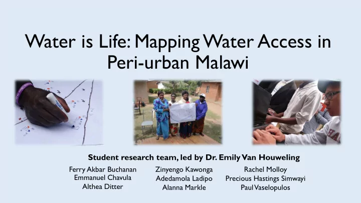
Water is Life: Mapping Water Access in Peri-urban Malawi
Ferry Akbar Buchanan Emmanuel Chavula Althea Ditter Zinyengo Kawonga Adedamola Ladipo Alanna Markle Rachel Molloy Precious Hastings Simwayi Paul Vaselopulos
Student research team, led by Dr. Emily Van Houweling