
SLIDE 1
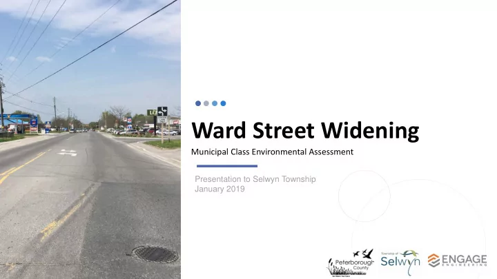
Ward Street Widening
Municipal Class Environmental Assessment
Presentation to Selwyn Township January 2019
Ward Street Widening Municipal Class Environmental Assessment - - PowerPoint PPT Presentation
Ward Street Widening Municipal Class Environmental Assessment Presentation to Selwyn Township January 2019 Purpose 1. Provide background and status of the Class EA Project. 2. Present the Recommended Plan. 3. Request Council receive the
Municipal Class Environmental Assessment
Presentation to Selwyn Township January 2019
3
The County and Township identified the following objectives for this study:
streetscape and built-form of the corridor
4
The Ward Street Widening Project is following the Municipal Class EA Process as a Schedule “C” Project. Schedule “C” projects must complete all 5 phases of the Class EA process as outlined in the flow chart. The project is currently in Phase 4. The study will result in an Environmental Study Report (ESR), which identifies the Recommended Plan and any mitigation measures.
5
The Ward Street Widening EA was initiated in 2017. It has proceeded through the Municipal Class EA process. To date, the following work has been completed:
6
WE ARE HERE
Various alternatives were developed to address the project objectives. Those that best addressed the project objectives were short-listed for a detailed evaluation:
Alternative 2A – Existing Cross Section with Multi-Use Pathway and CIP Measures Alternative 3A – 3-Lane Cross Section with Multi-Use Pathway and CIP Measures Alternative 4A – 4-Lane Cross Section with Multi-Use Pathway and CIP Measures Short listed alternatives were evaluated against a comprehensive list of evaluation criteria in the following categories:
Multi-Use Pathway and C.I.P. Measures” was identified as the preferred
the Recommended Plan.
incorporates new sidewalk, a multi-use pathway and streetscaping improvements.
property and property acquisition.
satisfies the Project Objectives by:
side; continuous 1.5m sidewalk on east side.
at various locations.
intersection alignment to improve safety of M.U.P. users.
minimized
relocated/transplanted to new locations along the corridor.
M.U.P. to the future roundabout
relocation required is to move Bell lines underground at #832 to make space for M.U.P.
will be provided until roundabout is constructed
property impacts and acquisition
recommended plan.
boulevards, street trees and decorative elements such as benches.
where possible
proposed roundabout
presentation of the Recommended Plan for information
to County Council.
Council.
Environmental Study Report (ESR)
(subject to funding)