
SLIDE 1
GNS Science
Using Artificial Intelligence to forecast the location of - - PowerPoint PPT Presentation
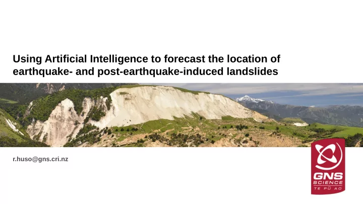
Using Artificial Intelligence to forecast the location of earthquake- and post-earthquake-induced landslides r.huso@gns.cri.nz GNS Science Contents Development of an Earthquake-Induced Landslide (EIL) forecast tool for NZ Model
GNS Science
GNS Science
GNS Science
0.2 0.4 0.6 0.8 1 0.2 0.4 0.6 0.8 1
True positive rate False positive rate
Log Re gres sion - K aikoura trained AI - Murchis
nd Ina ng ahua trained
GNS Science
GNS Science
GNS Science
GNS Science
GNS Science
GNS Science
GNS Science
GNS Science
GNS Science
GNS Science
GNS Science
GNS Science
GNS Science