Tonights Program 2 Workshop Objectives Learn about the draft - - PowerPoint PPT Presentation

tonight s
SMART_READER_LITE
LIVE PREVIEW

Tonights Program 2 Workshop Objectives Learn about the draft - - PowerPoint PPT Presentation

Tonights Program 2 Workshop Objectives Learn about the draft proposed short-term and long-term alignments Voice potential concerns and provide input Help shape future plans for the Snapper Creek Trail Segment B corridor 3


slide-1
SLIDE 1
slide-2
SLIDE 2

Tonight’s Program

2

slide-3
SLIDE 3

Workshop Objectives

  • Learn about the draft proposed

short-term and long-term alignments

  • Voice potential concerns and

provide input

  • Help shape future plans for the

Snapper Creek Trail Segment B corridor

3

slide-4
SLIDE 4

Snapper Creek Trail Segment “B” Aerial Map

4

slide-5
SLIDE 5

Snapper Creek Trail Segment “A”

5

  • Completed master

plan to the north and west of the current study area

slide-6
SLIDE 6

County Greenway Network

  • 506 miles of greenways, trails

and bike lanes proposed

  • 34 trails planned

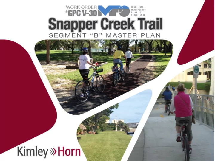
Snapper Creek Trail, Segment B 6

slide-7
SLIDE 7

Over 100 miles of bicycle/pedestrian facilities have been built to date…

slide-8
SLIDE 8

8

… including many canal trails

slide-9
SLIDE 9

9

Connections to existing corridors and destinations

slide-10
SLIDE 10

10

slide-11
SLIDE 11
  • Improve facilities for bicycling and walking
  • Provide effective alternatives to short auto travel
  • Promote healthier lifestyles
  • Improve safety

Study Objectives

11

slide-12
SLIDE 12
  • Crossing Palmetto Expressway
  • Canal sections where the right-of-way is narrow
  • Canal sections where the right-of-way has been consumed
  • Access control at street crossings
  • Mid-block arterial roadway crossings
  • SW 87th Avenue / Snapper Creek Canal (C-2) intersection
  • SW 72nd Avenue / Snapper Creek Canal (C-2) intersection
  • SW 67th Avenue / Snapper Creek Canal (C-2) intersection

Corridor Constraints

12

slide-13
SLIDE 13

Community Information Workshop

  • Held on April 27, 2016 at South Miami City Hall
  • Attracted 29 workshop attendees
  • Open house format and a formal presentation was given

to provide the public with a project overview and context

13

slide-14
SLIDE 14

Community Information Workshop

14

slide-15
SLIDE 15

Community Information Workshop

  • Public feedback included both positive support messages

and concerns from residents adjacent to the canal

  • Need to consider short trips/connections within the study

area as well as regional mobility

  • Residents along the canals raised concerns
  • Garbage/Waste
  • Noise
  • Security
  • Privacy
  • Cost
  • Safety
  • Property Value of Depreciation
  • Narrow Right-of-Way

15

slide-16
SLIDE 16

Recommendations

16

slide-17
SLIDE 17

Short-Term Alignment

17

slide-18
SLIDE 18

Mid-Term Connector Opportunity/Alignment

18

slide-19
SLIDE 19

Long-Term Alignment

19

slide-20
SLIDE 20

Insets

20

slide-21
SLIDE 21

Insets

21

slide-22
SLIDE 22

Insets

22

slide-23
SLIDE 23

Insets

23

slide-24
SLIDE 24

Insets

24

slide-25
SLIDE 25

Insets

25

slide-26
SLIDE 26

Insets

26

slide-27
SLIDE 27

Insets

27

slide-28
SLIDE 28

Infrastructure Needs

  • Shared-Use Path
  • Shared use paths are non-motorized transportation trails that

are typically used by bicyclists and pedestrians. Shared use paths may vary from a wide sidewalk in the street’s right-of- way to a paved trail separate from the roadway such as a canal or park.

  • Neighborhood Greenways
  • Enhanced shared streets that will improve connectivity to

residential areas. It incorporate a variety of elements including bicycle shared lane markings (sharrows), traffic calming, and bike route and wayfinding signage to provide a comfortable and low-stress environment that encourages the use of non- motorized modes of transportation.

28

slide-29
SLIDE 29

Shared-Use Path

29

slide-30
SLIDE 30

Neighborhood Greenway

30

slide-31
SLIDE 31

Other Important Features

  • Rectangular Rapid

Flashing Beacon (RRFB)

  • Allows non-motorized

traffic an opportunity for a safer mid-block crossing.

  • Consists of a high

emphasis crosswalk with two flashing, rectangular shaped beacons that light up to alert motorists when someone is using the crosswalk.

31

slide-32
SLIDE 32

Other Important Features

  • Canoe/Kayak

Launch

  • At Dante Fascell

Park/south end of SW 58th Avenue neighborhood greenway

  • Connects to the

County’s blueway network.

32

slide-33
SLIDE 33

Demonstration Project

  • Shared use path along the canal between Dadeland

North Metrorail Station and SW 67th Avenue/Ludlam Road

  • Provide a shared-use path along the north bank of the

Snapper Creek (C-2) Canal from U.S. 1/S Dixie Highway to SW 67th Avenue.

  • Provide a trail connection to connect to SW 85th Street

while still restricting motor vehicle traffic.

  • Install RRFBs across SW 67th Avenue at the trail crossing.
  • Install zig-zag pavement markings on SW 67th Avenue as

advanced warning of the trail crossing.

33

slide-34
SLIDE 34

Demonstration Project

34

slide-35
SLIDE 35

Demonstration Project

35

slide-36
SLIDE 36

36

for listening to tonight’s workshop presentation

Thank You!