
SLIDE 1
1
CTC Source Protection Region CTC Source Protection Region CTC Source Protection Region CTC Source Protection Region
www.ctcswp.ca
Made possible through the support of the Government of Ontario
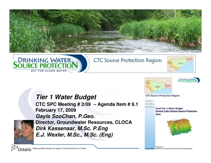
Tier 1 Water Budget
CTC SPC Meeting # 2/09 – Agenda Item # 6.1 February 17, 2009
Gayle SooChan, P.Geo.
Director, Groundwater Resources, CLOCA
Dirk Kassenaar, M.Sc. P.Eng E.J. Wexler, M.Sc., M.Sc. (Eng) CTC Source Protection Region CTC Source Protection Region CTC Source Protection Region CTC Source Protection Region