the 1 8 ft gage datum discrepancy
play

The 1.8-ft gage datum discrepancy The USGS stated in its November 5, - PowerPoint PPT Presentation

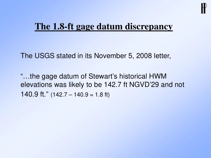
The 1.8-ft gage datum discrepancy The USGS stated in its November 5, 2008 letter, the gage datum of Stewarts historical HWM elevations was likely to be 142.7 ft NGVD29 and not 140.9 ft. (142.7 140.9 = 1.8 ft) The 1.8-ft gage


  1. The 1.8-ft gage datum discrepancy The USGS stated in its November 5, 2008 letter, “…the gage datum of Stewart’s historical HWM elevations was likely to be 142.7 ft NGVD’29 and not 140.9 ft.” (142.7 – 140.9 = 1.8 ft)

  2. The 1.8-ft gage datum discrepancy • Stewart’s surveyed 1921 HWM at upper Dalles gage is El. 175.75 (gage height 34.86 + gage datum El. 140.89) • USGS published 1921 HWM at current Dalles gage is El. 177.6 (gage height 34.86 + gage datum El. 130.00 + gage datum difference 12.69) • 1.8 ft is the difference between USGS published and Stewart’s surveyed 1921 HWM elevations

  3. The 1.8-ft gage datum discrepancy • Skagit County operated a gage at upper Dalles in 1924 – 37, with gage datum El. 142.69 • 12.69 ft is the gage datum difference between County’s old gage and USGS current Dalles gage • USGS has a record of this 12.69-ft datum conversion between County’s old gage and USGS current Dalles gage

  4. The 1.8-ft gage datum discrepancy • 1.8 ft is the gage datum difference between Stewart’s upper Dalles gage and County’s old gage • USGS looked for but could not find any record of the 1.8- ft datum conversion between Stewart’s upper Dalles gage and County’s old gage

  5. The 1.8-ft gage datum discrepancy Skagit Stewart’s Upper USGS Gage County’s (1937- Dalles Gage Gage (1924-37) present) (1922-23) Published 177.55 177.55 1921 HWM 1.8’ 175.75 1921 HWM Stewart’s Surveyed 33.06’ GH=34.86’ Stewart’s Surveyed GH=34.86’ 142.69 Gage Datum 1.8’ 140.89 Gage Datum 130.00 Gage Datum

  6. The 1.8-ft gage datum discrepancy • The USGS stated that “…the gage datum of Stewart’s historical HWM elevations was likely to be 142.7 ft NGVD’29 and not 140.9 ft.” • If this USGS statement were correct, all of Stewart’s surveyed elevations would have been 1.8 ft too low

  7. Comparison of water surface elevations surveyed by Stewart and others using NGVD-29 datum Difference Between USACE 1911 Stewart and Other Location Stewart 1922-23 Survey Survey * Recent Survey Surveys (ft) Near old Concrete 151.92 151.1 152.1 0.82 and –0.18 Ferry Site (01/27/23 – Stewart notes, p. 84, (8,570-9,980 cfs at (Skagit County 04/28/08 – flow 9,420 cfs at flow 9,740 cfs at Sedro-Woolley) Sedro-Woolley) Mt. Vernon and 7,680 cfs at Concrete, measured 151.92 - 152.32 at X-Sec 6) Upper Dalles 144.58 144.5 0.08 Gage (01/27/23 – Stewart’s Notes, (8,570-9,980 cfs at p. 86, flow 9,740 cfs at Sedro- Sedro-Woolley) Woolley) 147.55 147.4 0.15 (12/23/22 – Stewart’s Notes, (PIE 9/30/04 – flow 12,500 cfs at Concrete, p. 34, 6.66+140.89, flow 14,200 measured 147.1 at current gage) cfs at Sedro-Woolley) Lower Dalles 144.95 144.3 145.7 0.65 and –0.75 Gage (01/25/23 – Stewart’s notes, (8,570-9,980 cfs at (PIE 9/30/04 – flow 12,500 cfs at Concrete, p. 54, 3.91+141.04, flow 10,100 Sedro-Woolley) interpolated 146.9 lowered 1.2 ft for similar cfs at Sedro-Woolley) flow of Stewart’s survey date) Upper Slope 144.12 143.6 144.7 0.52 and –0.58 Section (01/30/23 – Stewart’s notes, (8,570-9,980 cfs at (PIE 9/30/04 – flow 12,500 cfs at Concrete, p. 64, flow 7,660 cfs at Sedro- Sedro-Woolley) interpolated 146.4 lowered 1.7 ft for similar Woolley) flow of Stewart’s survey date) Lower Slope 142.35 142.1 141.9 0.25 and 0.45 Section (01/30/23 – Stewart’s notes, p.64, (8,570-9,980 cfs at (PIE 9/30/04 – flow 12,500 cfs at Concrete, flow 7,660 cfs at Sedro-Woolley) Sedro-Woolley) interpolated 143.6 lowered 1.7 ft for similar flow of Stewart’s survey date) * Elevations based on extreme low water of Puget Sound Maximum difference: 0.82 and –0.75 were adjusted by –8.93 ft to NGVD-29. It was assumed that the survey in Concrete area was conducted in August 1911.

  8. Conclusions • Stewart’s surveyed elevations are based on MSL, consistent with the use of NGVD-29 datum • There is no evidence that Stewart’s gage datum was incorrectly surveyed (by 1.8 ft too low as the USGS statement suggested) • USGS published 1921 HWM El. 177.6 is based on an incorrect 12.69 ft gage datum difference, which does not include the 1.8 ft datum difference between Stewart’s gage and County’s gage • USGS should have used the corrected 10.89 ft gage datum difference (=12.69 – 1.8)

Recommend


More recommend