
SLIDE 1
1
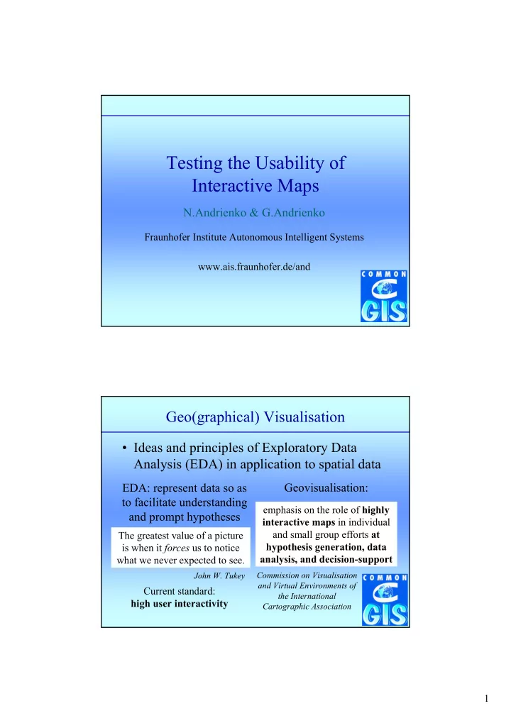
Testing the Usability of Interactive Maps
Fraunhofer Institute Autonomous Intelligent Systems www.ais.fraunhofer.de/and
N.Andrienko & G.Andrienko
Geo(graphical) Visualisation
- Ideas and principles of Exploratory Data
Analysis (EDA) in application to spatial data
EDA: represent data so as to facilitate understanding and prompt hypotheses
The greatest value of a picture is when it forces us to notice what we never expected to see.
John W. Tukey
Geovisualisation:
emphasis on the role of highly interactive maps in individual and small group efforts at hypothesis generation, data analysis, and decision-support
Commission on Visualisation and Virtual Environments of the International Cartographic Association