SLIDE 1
TCID Emergency Spillway Release from the V-Canal
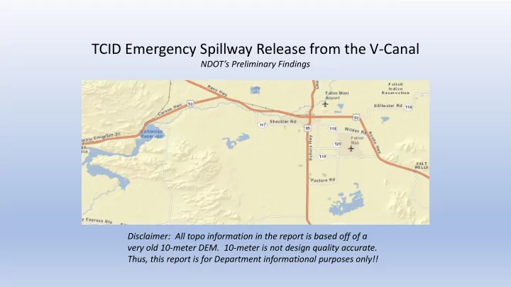
NDOT’s Preliminary Findings Disclaimer: All topo information in the report is based off of a very old 10-meter DEM. 10-meter is not design quality accurate. Thus, this report is for Department informational purposes only!!
SLIDE 2 Quick Background
Courtesy of Channel 2 News
- Lake Lahontan is practically full and the current watershed projections show enough volume
to fill the lake two more times (the lake is approximately 300K ac-ft in volume)
- TCID is already releasing water to prepare for this and will be releasing a lot of water during
the spring runoff to protect the dam
- A spillway is being created along the V Line Canal to relieve pressure on the canal and protect
the City of Fallon. The spillway is rated at 1,000 cfs and will discharge into the sagebrush flats west of Fallon.
- The new flow path for the spillway will make its
way to US95, will cross the route, and will end up in Carson Lake
SLIDE 3 What We Looked At
NDOT faces two immediate issues that were preliminarily looked at:
diversion get across US95?
- How will the growing Carson
Lake impact US95 and US50?
? ?
SLIDE 4
Flow Across US95
A 2-D model was done to figure out the approximate flow path of the water, and how long it might take for the water to get to our roadway Approx. 16 Miles
SLIDE 5
The model showed that it would take between 4-5 days for the water to get to US95:
Note: Water time would vary based off of obstacles in the way, saturation of the soil, and peak flow discharged at.
US95 And the greatest impact would be between MP 12.2 and MP 14.9, where some smaller flooding may occur around MP18.5 and Between MP 17.1 and MP 17.8 (depending on upstream conditions) MP18.5 MP17.8 MP17.1 MP14.9 MP12.2
Note: These limits are very approximate and were from the 10-meter DEM!!!
SLIDE 6
There are 10 existing culverts that perpetuate flow in the floodplain between MP12.2 and MP14.9: And they total to an existing capacity of 421 cfs
SLIDE 7 But, according to inventory field work done a couple of years ago, the culverts can use some work:
- They need to be flushed out
- The vegetation and other obstacles around the inlet and outlet
need to be removed or mowed
- Good grading needs to be done into and out of each one
Otherwise the capacity of each may be diminished greatly!
SLIDE 8
- Up to five 10’x3’ RCB’s or twelve 36” RCP’s may be
necessary (in addition to the existing facilities) between US95 MP12.2 and MP14.9 to perpetuate the remaining flow and keep from having
- vertopping during the 1,000 cfs discharge.
- Riprap around the inlet and outlet of the facilities is
recommended due to the poor soil conditions and the continuous expected flow. Note: Grading into and out of ROW would be recommended for the best function of these new facilities. The area on both sides of the road is mostly BLM Recommended 10’x3’ RCB Or 2-36” RCP Recommended 10’x3’ RCB Or 2-36” RCP Recommended 10’x3’ RCB Or 3-36” RCP Recommended 10’x3’ RCB Or 3-36” RCP Recommended 10’x3’ RCB Or 2-36” RCP Note 2: More exact locations and quantities should be looked at by Hydraulics for where to place the culverts
SLIDE 9 Consider adding aggregate base along the roadway on the west side in the flood area… This would:
- Give motorists something besides a “lake” to pull off into
- Would give an extra level of protection to the structural section of the roadway
Note: The material would have to be “warped” around the culvert inlets so that they would not have to be extended
- Approx. 70’ to Edge of ROW
SLIDE 10
Impacts of Carson Lake
The following shows the general capacity of Carson Lake along with the Area Subject to Inundation according to the USGS Topographic maps: Carson Lake Perimeter of Area Subject to Inundation Additional Volume = 13,670 ac-ft Note: Lake Lahontan is approximately 300K ac-ft
SLIDE 11 The following shows the approximate volume limits according to contour: Carson Lake Note: Lake Lahontan is approximately 300K ac-ft
- Approx. Full Storage:
- 154,870 ac-ft
- 247,924 ac-ft
- 360,993 ac-ft
- 484,765 ac-ft
- 631,605 ac-ft
Note 2: 1000 cfs = 2000 ac-ft/day Would take around 2-1/2 months to fill to this level
SLIDE 12
Bridge B755 Bridge B755 should start flowing water around the same time as Carson Lake will pool up to US95, which may help US95 Unfortunately, the flow out of B755 at the point when US95 starts to overtop is 333 cfs, and the max flow is around 825 cfs, which means that Carson Lake coul still rise if TCID exceeds that flow!
SLIDE 13 Detour of US95
- Follow I-580 / US-395 South to NV-208. Take NV-208 East
to US-95A toward Schurz.
- Adds 28.1 miles and 48 minutes to commute coming
from Reno
- Follow US-95A South to Schurz.
- Adds 0.9 miles and 4 minutes to commute coming from
Fernley
SLIDE 14
- Follow I-80 West to US-95 South. Take US-50 East to NV-
361 South. Take NV-361 South to US-95 South.
- Adds 14 miles and 3 minutes to I-80 EB to US-95 S
commute.