
SLIDE 1
Shelburne Gateway Pedestrian Safety and Mobility Study
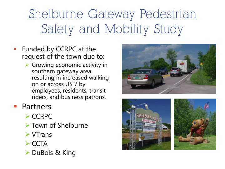
- Funded by CCRPC at the
request of the town due to:
- Growing economic activity in
southern gateway area resulting in increased walking
- n or across US 7 by
employees, residents, transit riders, and business patrons.
- Partners
- CCRPC
- Town of Shelburne
- VTrans
- CCTA
- DuBois & King