
SLIDE 1
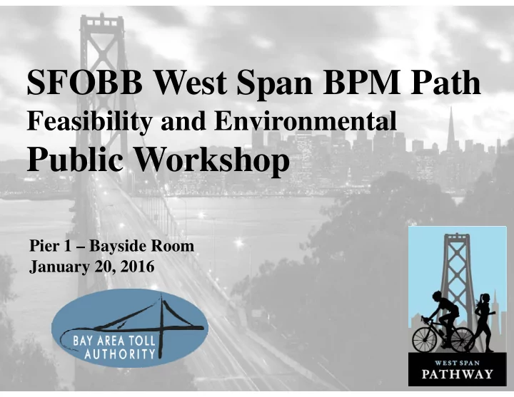
SFOBB West Span BPM Path
Feasibility and Environmental
Public Workshop
Pier 1 – Bayside Room January 20, 2016
SFOBB West Span BPM Path Feasibility and Environmental Public - - PowerPoint PPT Presentation
SFOBB West Span BPM Path Feasibility and Environmental Public Workshop Pier 1 Bayside Room January 20, 2016 2 2 Welcome! Workshop Agenda Arrival (6:00) Presentation (6:10-6:45) General Q&A (6:45-7:00) Feedback
Pier 1 – Bayside Room January 20, 2016
2
2
3
3
4
4
PSR-PDS (2014)
5
5
East Bay & Treasure Island
6
6
Downtown San Francisco Main Span Yerba Buena Island
7
7
to/from San Francisco.
w/landings
8
8
10
10
Pathway Segments Length (miles) (mins) (mins)
BPM Pathway 2.9 17 57
SF Approach 0.5 Main Span (West) 2.0 YBI Approach and Path 0.4 Bay Bridge Trail 4.4 26 88 East Span 2.3 Approach 1.1 Emeryville(Shellmound) 1.0
Total Bay Bridge Trail & Pathway 7.3 44 145
11
11
Ohlone Greenway: El Cerrito
12
12
East Span 15½’ Golden Gate:10’ max Tilikum Crossing 2 x 14’ Brooklyn 8’ to 16’
13
13
15
15 SFOBB West Span BPM Path
Essex Street to The Embarcadero
Where should the path connect in San Francisco?
16
16
SFOBB West Span BPM Path
1.
Essex Street
2.
Caltrans Paint Yard
3.
The Embarcadero
1 2 3
17
17
SFOBB West Span BPM Path
1 2 3
18
18
west of Embarcadero
19
19
20
20
21
21
22
22
Stand-alone Attach to Existing On-deck
24
24
SFOBB West Span BPM Path
25
25
SFOBB West Span BPM Path
26
26
SFOBB West Span BPM Path
27
27
Retained Wall - Fill
28
28
Typical Viaduct Retained Wall - Fill Retained Wall - Cut
29
29
SFOBB West Span BPM Path
30
30
SFOBB West Span BPM Path
Suspended Path at West Portal
32
32
33
33
Do you prefer the path on the north or south side of the bridge?
34
34
35
35
36
36
Extended Alternate
37
37
38
38
Tamar Bridge Path Addition
39
39
40
40
41
41
Public Workshops
Current BPM Project Future Phases
(Est. 8‐10 Years) 2015 2016
Alternatives Screening Conceptual Design Preliminary Design Environmental Studies Final Design (PS&E) Funding/Procurement Construction
42
42
43
43
44
44
45
45
SFOBB West Span BPM Path