SLIDE 1
San Pedro Community Plan
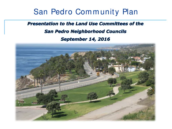
SLIDE 2 San Pedro Community Plan
- Community Planning
- Overview of the San Pedro Community Plan
– Timeline and public participation – Goals and policies
- Implementation of the Plan
– General Plan Designations and Zoning – CPIO
Presentation Overview
SLIDE 3
COMMUNI TY PLANNI NG
SLIDE 4
county must adopt a General Plan, address long-term growth
future land use decisions
document, consistent across all elements
The General Plan in California
SLIDE 5
Los Angeles Community Plans
35 Community Plans – Land Use Elem ent of City’s General Plan Each plan is a blueprint to guide new development Land Use Distribution Development Intensity
SLIDE 6
Who uses the Community Plan?
City Planners Business Interests/ Developers City Planning Commissions City Council and Mayor City Departments Community Residents and Stakeholders
SLIDE 7
- Community Plan text
- General Plan Land Use Map
- Implementing Tools
- Zoning
- Overlays/ other tools
The Community Plan Components
SLIDE 8
THE SAN PEDRO COMMUNI TY PLAN UPDATE
SLIDE 9 Why Update?
- Address changing land uses and emerging concerns
- Provide more clarity and guidance for applicants
and community
- Make Community Plans consistent other General
Plan Elements
- Framework Element
- Mobility Plan 2035
Community Plan Update Program
SLIDE 10 Com m unity Plan Update Process: 3 Phases
San Pedro Community Plan: Process
Initiation
- Land Use Survey and community engagement
Plan Development
- Staff research and analysis
- Identify areas that need to be addressed through policy, land use designations, zone changes or other tools
- Community engagement
- Public Hearing
Adoption
- Harbor Area Planning Commission
- City Planning Commission
- City Council (PLUM)
- Full City Council
SLIDE 11
- 1999: Last Plan Update
- 2006: Plan Update begins
- 30+ meetings in the community
- 2007 and 2008: Public workshops to review proposed
changes
- 2008-2012: Neighborhood Council and CAC check-ins
- 2012: Open House and Public Hearing
- 2012: Harbor Area Planning Commission
- 2013: City Planning Commission
San Pedro Community Plan: Background
SLIDE 12
- Plan text comprised of goals,
policies, and programs
desired outcome
- Policies provide important
guidance for findings on discretionary projects
- Program s identify next steps
and future work program items
The Community Plan – Contents of the Plan Text
SLIDE 13
- Promote Downtown as San Pedro’s
commercial center
- Strengthen connection to the
Waterfront
- Improve the local economy
- Enhance distinct neighborhoods and
districts
- Expand and preserve housing
San Pedro Community Plan: Recommendations
Major Them es:
SLIDE 14
Prom ote Dow ntow n as a Regional Center Strengthen Connection to the W aterfront
San Pedro Community Plan: Recommendations
SLIDE 15
I m prove the local econom y: I ndustrial Districts
San Pedro Community Plan: Recommendations
SLIDE 16
Enhance Neighborhood Districts
San Pedro Community Plan: Recommendations
SLIDE 17
Expand and Preserve Housing
San Pedro Community Plan: Recommendations
SLIDE 18 I MPLEMENTI NG THE PLAN Concurrent w ith the Plan
- General Plan Designations and Zoning
- Community Plan Implementation Overlay (CPIO)
- Modified Street Designations
Long Range
SLIDE 19 Land Use Map w ith Corresponding Zones
- The plan regulates the zoning
- Underlying zoning must be consistent
with the Community Plan
- Hierarchy of zones (R1, R2, R3, etc.)
The Community Plan Components
SLIDE 20
General Plan Designations and Zoning
Implementation of the Community Plan Implementation: Concurrent with the Plan
SLIDE 21
1980 Proposed
San Pedro Community Plan: Then and Now
SLIDE 22 Com m unity Plan I m plem entation Overlay ( CPI O)
Implementation of the Community Plan
- Generally addresses:
- Pedestrian-Orientation
- Compatibility of Use and Design
- Landscaping
- Step backs
- Parking
- Signage
- Utilities and mechanical equipment
- Facades
SLIDE 23 Implementation of the Community Plan CPIO: Regional Commercial Subarea
- Unlimited height replaced with a maximum
height limit of 250 feet
- FAR 6.0:1
- No additional parking required for change of
use in existing buildings
- Building scale and massing
- Pedestrian plazas and open space required
for large projects Support a compact, high-intensity center of employment, entertainment, civic and cultural activities, and promote waterfront tourism
SLIDE 24 Implementation of the Community Plan CPIO: Central Commercial Subarea
- Max 75 feet
- FAR 1.5 - 4.0
- Mixed use generally required throughout
- Automobile uses only allowed in Subarea A
- Pedestrian plazas and open space required for
large projects
- Incorporated CDO Design Guidelines
Gateways and neighborhoods that create transitions into the Downtown, serve local residents and regional visitors, and form an active, pedestrian-oriented district
SLIDE 25 Implementation of the Community Plan CPIO: Multi-Family Residential Subarea
- Retaining existing zoning
- Incorporate CRA Pacific Corridor design
guidelines
- Added design standards
- Articulation, form and facades
- Pedestrian and residential amenities
Support housing for all income groups while providing convenient access to commercial districts
Downtown Vinegar Hill Pacific Avenue Gaffey Street Harbor Boulevard Multifamily CPIO Subarea
SLIDE 26
- Modified street designations to mirror existing street
dimensions
- Identified “Priority” streets to address needs for
different users (pedestrians, bikes, cars… ..)
- Studied potential for 6th Street
Streets
Implementation: Concurrent with the Plan
SLIDE 27 Implementation: Concurrent with the Plan
programs
- Land use, mobility, public
facilities
policies
- Identifies responsible or
coordinating agencies
I m plem entation Program s
SLIDE 28
LATEST W ORK
SLIDE 29
Preserve single fam ily neighborhoods and protect historical assets
- Preservation Plan
- Separately adopted
February 24, 2015
Vinegar Hill HPOZ Expansion
SLIDE 30
- Supports Plan Goals: Foster
accessible com m unities
- Vision for Western Avenue
- Coordination with the City of Rancho Palos
Verdes, Caltrans, Southern California Association of Governments, and CD-15
- Goals for Streetscape and Private
Development
Western Avenue Street Enhancement Strategy
SLIDE 31 NEXT STEPS
- Return to CPC October 13, 2016
- Next: Consideration by City Council PLUM
committee and full City Council
- Anticipated adoption 2017