
SLIDE 1
REGIONAL HAZE in the WESTERN STATES
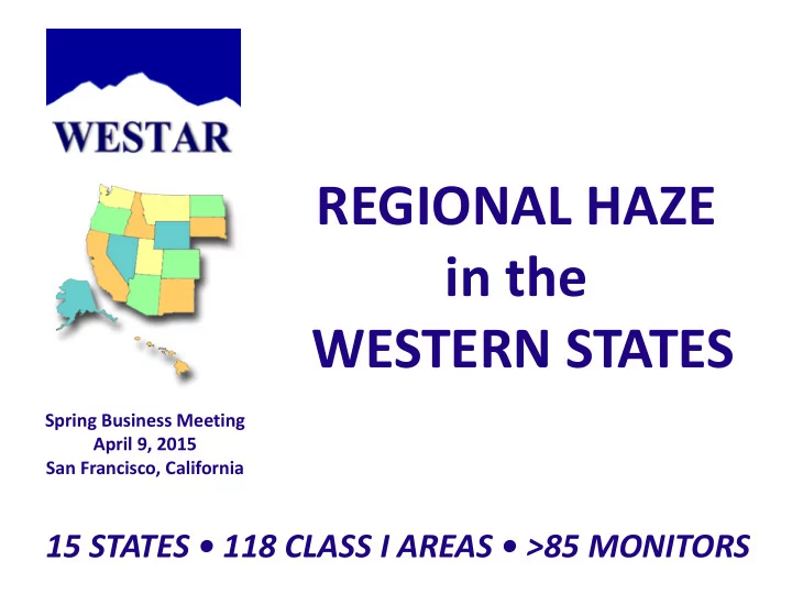
15 STATES • 118 CLASS I AREAS • >85 MONITORS
Spring Business Meeting April 9, 2015 San Francisco, California
REGIONAL HAZE in the WESTERN STATES Spring Business Meeting April - - PowerPoint PPT Presentation
REGIONAL HAZE in the WESTERN STATES Spring Business Meeting April 9, 2015 San Francisco, California 15 STATES 118 CLASS I AREAS >85 MONITORS BACKGROUND: CORE ISSUES Challenge: Reduce man-made emissions impairing visibility at
Spring Business Meeting April 9, 2015 San Francisco, California
Challenge: Reduce man-made emissions impairing visibility at Class 1 Areas Cooperative Planning Effort through WRAP for Baseline SIP (2000-2010)
Shared inventory, causes of haze, extensive modeling, BART analysis, set RPGs States, Federal Land Managers, EPA Regions, Tribes, environmental and industry representatives
WESTAR Planning Committee Regional Haze Work Group (2011-2015)
States and Federal Land Managers discuss observations and experience Presented recommendations for rule improvements to EPA - August 2013 Prepared WESTAR Regional Haze Work Plan to meet 2018 SIP deadline Continued discussions with others at EPA-OAQPS - March 2015 Follow-up with comments at end of March; look forward to continued interactions
Regional Haze Program improvement recommendations
LOCATION, LOCATION, LOCATION and Relative Visibility
Natural factors including terrain, meteorology, soils, elevation, plants and ecosystems, seasons and weather, relative humidity, coastal vs. inland situation affect deciview level. Anthropogenic emissions contribute varying quantities of different haze species depending
international influences.
Species contributing to Haze on Worst Days are Different by Region
WEST - Intermontane West has best visibility, demonstrated by lowest light extinction
MIDWEST
EAST
Need Different Regional Strategies based on Anthropogenic Source Impacts
Haziest (Worst) Days Average Light Extinction is lower since baseline West started with clearer days – expect less dramatic changes Expect additional improvements by 2018 as all planned controls implemented Difficult to determine short and long-term goals and demonstrate progress without recognizing that natural haze interferes with metric
Mesa Verde National Park: Uniform Rate of Progress for 20% Best & Worst Days
How should Western States set Reasonable Progress Goals? What does “Worst Days at Natural Conditions” really mean?
Three-quarters of Class 1 Areas in western states Differentiate between Natural Haze and Visibility Impairment Caused by Anthropogenic Sources Wildfires, Dust Storms, Volcanoes are NATURAL sources of haze, not “events” to be excluded
annual and five-year “Worst Days” averages, suggesting no progress in reducing haze, despite measurable reductions in anthropogenic emissions that otherwise improved visibility
Back trajectories from first planning period show International Transport has real impact beyond state or federal control “Natural Conditions in 2064” doesn’t mean visibility with only natural emissions; public misconception that all anthropogenic impacts can be eliminated Need metric that works for setting reasonable progress goals and for measuring progress
http://www.westar.org/rhpage.html see Meetings/Workshops Presentations: August 2013 For detailed discussion of WESTAR Core Issues
Source Controllability Trend Variability Anthropogenic US Anthropogenic Some emissions are controllable Downward as sources are controlled Relatively stable Some emissions will remain after all reasonable controls implemented Could rise because of population increases Relatively stable International Anthropogenic Not controllable by state or federal regulations Likely increasing due to increased development worldwide and rising population Relatively stable Natural Fire, Dust, Sea Salt Natural, not controllable Increases due to climate change and other human changes to the environment Highly variable Volcanic Natural, not controllable Unpredictable Highly variable Other Natural Sources Not controllable Potentially affected by climate change, e.g., changes in temperature Relatively stable
Shaded areas represent emissions that states cannot control.
5 10 15 20 25 30 35 40 45
2004 2009 2014 2019 2024 2029 2034 2039 2044 2049 2054 2059 2064
Light Extinction Year
Causes of Visibility Impairment
FOCUS: REDUCE CONTROLLABLE ANTHROPOGENIC EMISSIONS "Veneer" Remaining Uncontrollable Anthropogenic Emissions Natural Emissions Expected to Fluctuate
PLANNING NEEDS: TIME, RESOURCES, STRATEGY
WESTAR must finish regional work by this date
http://www.westar.org/rhpage.html See Additional Information: Regional Haze 2018 SIP Work Plan
Must link reductions from controls to visibility improvements
− Start with controllable “drivers”: anthropogenic NOx and SOx sources − Add visibility improvement to 4-factor analysis for individual stationary sources − Consider area and mobile source impacts and controls − Phase in controls of composite of nearest sources, not just largest sources − Reconsider regional programs (e.g. Section 309 shared milestones and trading) − Smoke management programs essential
Integrate planning by aligning haze and criteria pollutant timetables
− Share limited resources for inventory, modeling, and rule development − Leverage NAAQS control programs for visibility co-benefits − States without authority to be more stringent need federal control programs
How do we know when we are done? And what do we do then?
− Some western sites are minimally affected by controllable emissions − Need a process to determine that no additional controls are feasible − Are we done in 2064? Do we look at maintaining or preventing future impairment?
Hawaiian volcano dust storm Pacific fog 100,000 acre wildfire Denali
Support modifications to the Progress Report Efficient use of resources with extended SIP submission date
must link them to visibility benefits