
SLIDE 1
10/30/2009 1
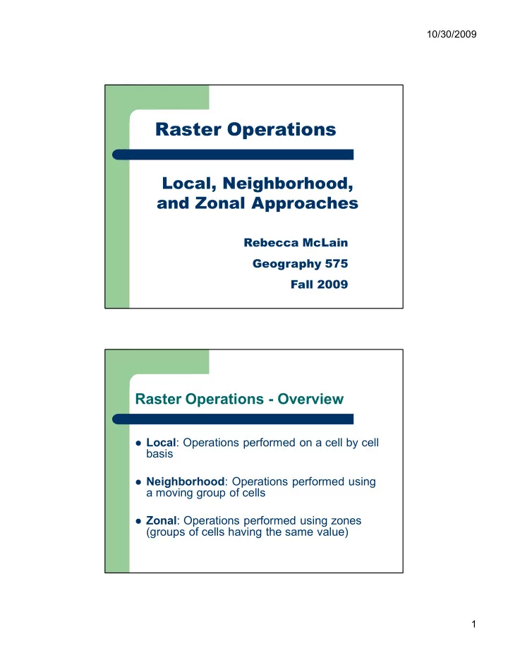
Local, Neighborhood, and Zonal Approaches
Raster Operations
Rebecca McLain Geography 575 Fall 2009
Raster Operations Overview
Local: Operations performed on a cell by cell
basis
Neighborhood: Operations performed using
a moving group of cells
Zonal: Operations performed using zones