
SLIDE 1
RAIN/RUNOFF WATER DRAINED THROUGH A PARTICULAR POINT GROWTH ENGINE - - PowerPoint PPT Presentation
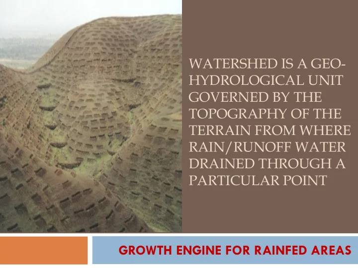
WATERSHED IS A GEO- HYDROLOGICAL UNIT GOVERNED BY THE TOPOGRAPHY OF THE TERRAIN FROM WHERE RAIN/RUNOFF WATER DRAINED THROUGH A PARTICULAR POINT GROWTH ENGINE FOR RAINFED AREAS Watershed as Planning Tool Watershed constitutes natural
Watershed constitutes natural spatial frame of
Delineation and codification of watershed of a
Region to Basin Delineation Basin to Catchment Delineation
Base Map - 1:1,000,000 Base Map - 1:1,000,000
Catchment to Sub-catchment Delineation Sub-catchment to Watershed Delineation
Base Map - 1:1,000,000 Base Map - 1:1,000,000
Watershed to Sub-watershed Delineation Sub-watershed to Micro-watershed Delineation
Base Map - 1:50,000 Base Map - 1:50,000
Planning, Designing and Implementation
Topography Soil & geology Meteorology Land use & crop cover Water bodies Institution
structures etc facilitates decision making for structural locations and agronomic measures
water recharge, type of intervention
identification of agro-climatic zone, water requirement etc.
diversification and allied activities
supplementary requirement
through people’s participation
Precipitation Land Surface ET Soil Aquifer
Infiltration
Water Body Stream Channel Watershed Watershed discharge
Overland flow & inter flow
Base flow
Infiltration
max
(A1 Rs1+ A2 Rs2+ A3 Rs3 ……
_________________________ A1+ A2+ A3 ……..
Rt =
50 100 150 200 250 300 350 Jan Feb Mar Apr May Jun Jul Aug Sep Oct Nov Dec Rainfall(mm) WR(mm) Shortage Shortage Excess Excess
Arable
Non Arable
Drainage Lines
Check dams
High value crops
Horticulture Afforestation
Topographic & benchmark survey Participatory Planning & decision making Multi disciplinary implementing agency Research & scientific backstop Integrated & conservation farming Water management Livelihood support system Capacity building Monitoring
Survey: Soil & Land Use Survey of India Research: Indian Council of Agricultural Research Multi Disciplinary Teams: Subject matter Divisions and
Schemes on Integrated farming & agriculture production
Schemes for Water management like NMMI Livelihood through livestock & fishery based activities Strong extension Institutions: ATMA, KVKs, ICAR Trg.
Sustainable deployment of Land Resources Water availability
Food Security
Livelihood
Sustainable Agriculture