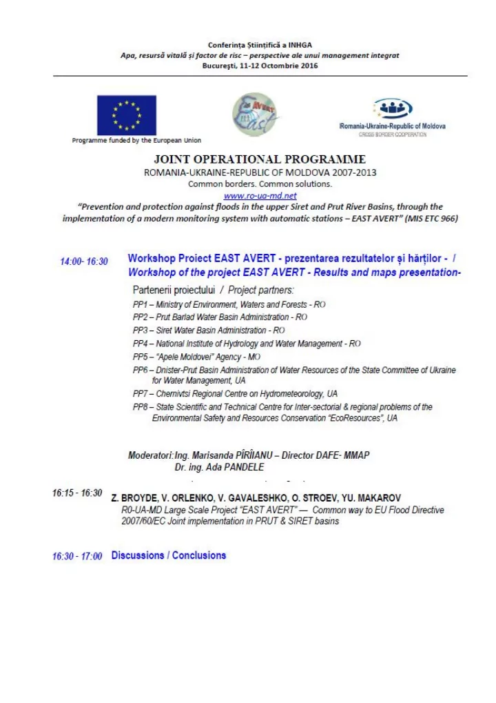

R0-UA-MD LARGE SCALE PROJECT “EAST AVERT” — COMMON WAY TO EU FLOOD DIRECTIVE 2007/60/EC JOINT IMPLEMENTATION IN PRUT & SIRET BASINS Dr. Z. Broyde, V.Orlenko, V.Gavaleshko, O.Stroev, Yu.Makarov- Centre "EcoResource"(UKRAINE), e-mail: broyde@sacura.net East Avert objectives are answering to Global Climate Change challenges & Green Growth needs in accordance with common priorities of macroregional EUSDR, ICPDR & Carpathian Convention. Its implementation’ve provided modern Monitoring & Data Exchange system, based on automatic hydro-stations, dispatching units & appropriate means for communications, and established Geo-Information System (GIS) for river basins, embraced by this project in 3 countries. In result it allows: - investigate, simulate & forecast phenomena concerned regular & catastrophic floods, both of Floodplain (e.g. in 2008) & of Stormwater (2010) character, which actuality was confirmed by last summer events in World, Europe & direct in project area; - design of prevention measures & emergency activities based on historic floods, forecasted danger & risk assessments mapping, what today becomes one of the key elements for Sustainable Socio-Economic and Spatial Development providing, both for river basins in whole and for each separate shore community/settlement. Digital photo & video records study, field survey of population & stakeholders, immediate terrain positioning of inundated areas & shorelines (floodmarking) and true depth measurements, being processed by modern GIS facility, are utilized both for mentioned modelling verification and for selected localities Floodplain & Stormwater scenarios assembly. including also revealed potential sources of accidental pollutions & of probable jams on water flows And nowadays superposition of high-level & accessible GIS means allows to provide this information reflection and exchange by different stakeholders & distributed databases in form of vector maps layers for universal digital mapping & for different applied problems resolution. Answering EU Flood Directive requirements, these East Avert developments allow bring together high level hydro-meteo modelling scenario prognoses with concrete community/settlement inundation/hazard/risk schemes mapping for relevant activities planning & providing, notably emergency prevention, in situ and for consequences elimination. Under EU Association Agreements with Ukraine and Republic of Moldova such capability can promote acceleration of appropriate Acquis Communautaire elements implementation. Top level supervision of EU Flood Directive implementation is in responsibility of State Emergency Service of Ukraine, which coordinates activity of State Water Agency and Ministries of Environment & of Regional Development. Besides interior legislation this responsibility is also reflected in “Flood Risk Management Plan for the Danube River Basin District (2015)”. At the same time, for current general decentralization process in Ukraine the key stakeholder’s role on the bottom level, together with regional structures of State Emergency Service’ve started to play new United Territorial Communities (UTC), which should incorporate above mentioned territorial digital mapping & emergency planning into their socio-economic development design. E.g. in Prut basin such key objectives became already actual for Vashkivtsi & Snjatyn cities zone of Prut & Cheremosh rivers confluence, areas of Chernivtsi & Novoselitsa municipalities and, especially, for new UTC of Mamlyga on the common border with both Romania & RM, form where Prut becomes common frontier of these countries, The principal role in Siret & Malyi Siret basins’ll play just established UTC of Storozhinets municipality with surrounding settlements, as well as further collaboration between last Ukrainian communities of Kamjanka & Cherepkivtsi with Romanian border municipality of Siret. For better sustainable embodiment of East Avert achievements, both inside & and in foreign relations essential aspects of these issues were discussed on numerous local & international workshops & forums. And after presentation on Parliamentary Hearing “Transfrontier Cooperation as driving force for European Integration in Ukraine” 08/06/2016, appropriate prescriptions were approved on 21/09/2016 in comprehensive Resolution of Verhovna Rada of Ukraine.
Recommend
More recommend