
SLIDE 1
Wildland Fire Smoke & Roadway Visibility: Predict, Prepare and - - PowerPoint PPT Presentation
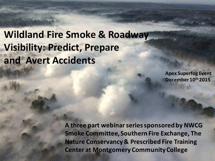
Wildland Fire Smoke & Roadway Visibility: Predict, Prepare and Avert Accidents Apex Superfog Event December 10 th 2015 A three part webinar series sponsored by NWCG Smoke Committee, Southern Fire Exchange, The Nature Conservancy &
Wildland Fire Smoke Guiding Principles Smoke Dispersion Matrix
“The tools for wildland smoke are building blocks of knowledge that deal with fuel, weather fire, and emissions”.
Couple summary slides on the Planned Burn (PB) Piedmont
Overview of the PB-Piedmont web tool page Model results from two historical case examples [Kentucky and
A local predictive model developed by Gary Achtemeier and the USFS to evaluate the low-level transport of smoke particles and fog potential associated with smoldering combustion
The underlying premise behind the model computations is to determine the state and activity of the surface drainage flow—a flow regime that develops as part of the broader mountain-valley circulation over moderate to steep terrain
Under relatively weak large-scale weather conditions the nocturnal boundary layer thermally decouples from larger-scale influence
Under this scenario, in the presence of smoldering combustion, the local meteorological conditions surround and mix with the residual fire environment—the PB-Piedmont model has been designed to evaluate this scenario, including the thermodynamics and particle transport that ensue
Courtesy: Stull 1988
10
Mountain Parkway Powell County Kentucky Superfog Event November 16 2016 8:45 AM Smoke from the Woodland Fire Historical case, used ECMWF 12.5 km reanalysis Model parameter settings: Location of ignition: 37.803078 latitude, -83.680269 Timezone: America/New York (EST) Local start date: November 15, 2016 Local start time: 1600 EST Duration: 18 hours Area burned: 20 acres Grid spacing: 60 meters Sample radius: 4 miles Fuel type: trees
Clear Branch ties into Middle Fork Red River in Slade. Source area of major smoke production
Lon = -83.680269
Courtesy: Gary Curcio and colleagues
13
14
15
16
17
18
19
20
21
22
23
24
25
26
27
28
29
31
Interstate 40 Arizona Accident/Superfog Event October 19th 2016, 3:30 AM
Historical case, used ECMWF 12.5 km reanalysis Model parameter settings: Location of ignition: 35.27364 latitude -112.0135 longitude Timezone: America/Phoenix (MST) Local start date: October 19, 2016 Local start time: 1600 MST Duration: 13 hours Area burned: 2500 acres Grid spacing: 60 meters Sample radius: 16 miles Fuel type: grass
34
35
36
37
38
39
40
41
42
43
44
Acknowledgements: Gary Achtemeier, Scott Goodrick, Gary Curcio, USFS Project supervisor: Timothy Brown Project support: Lyle Pritchett Webinar assistance: Liz Rank