
SLIDE 1
Proposed Seawall Ordinance ULDR Section 47-19.3 Objectives 1. - - PowerPoint PPT Presentation
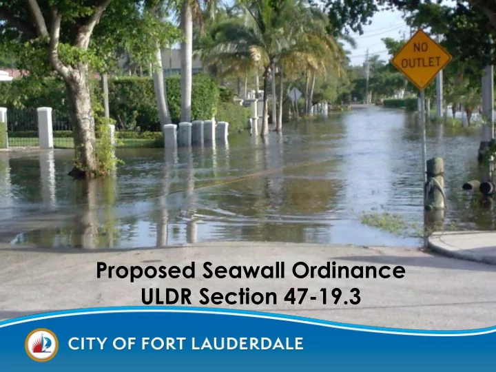
Proposed Seawall Ordinance ULDR Section 47-19.3 Objectives 1. Scope of the Issues Addressed in the Ordinance Modification 2. Summary of Key Ordinance Modifications 3. Explanation of Proposed Seawall Elevation Requirements 4. Proposed
Ordinance Modification
Requirements
2016 Current Seawall Ordinance Language
mooring devices. (4)(f) The top surface of a boat slip, seawall or dock shall not exceed five and one-half (5½) feet above NGVD29, except when the adjacent property is higher than five and one-half (5½) feet above the NGVD29. (3.90 feet NAVD88) When above 5½ feet NGVD 29, the top surface may be of the same elevation as the average grade of the upland property abutting the seawall or dock and properties abutting either side of the upland property.
Sets a Maximum Height.
2014 Marine Advisory Board Request Seawall Ordinance Language
to the Marine Advisory Board in Spring of 2014.
Chappell agreed that the current ordinance was adequate to address future sea level rise for the useful life of new seawalls.
NAVD88 FT Feet Above Mean Low Tide Condition
3.9
(5.5’NGVD29)
3.0 1.0 0.0
6.2 5.3 3.3 2.3 0.0 Max seawall height 2 ft SLR -2060 Extreme high tide Avg high tide (MHHW) Avg low tide (MLLW)
Seawall Elevations and Future Sea Level Rise
Normal Hi tide Predicted King Tide Observed King Tide
2.615 ft NAVD88
Likely Possible
1992
long term projects with low risk tolerance (2060: 34”)
NAVD88 FT Feet Above Mean Low Tide Condition
3.9
(5.5’NGVD29)
3.0 1.0 0.0
6.2 5.3 3.3 2.3 0.0 Max seawall height 2 ft SLR -2060 Extreme high tide Avg high tide (MHHW) Avg low tide (MLLW)
Sept 2015 Tide 2.6 ft
Seawall Elevations and Future Sea Level Rise 4.6
6.9
Proposed minimum seawall height
Tidal Flooding today, in 2030 and in 2045 Southeast Florida will advance from <10 events today to 240 events in 2045
Miami, FL 240 events in 2045
Seawalls in significant disrepair
Existing Seawall and dock inundated
Upland eroding through the seawall
Seawalls of differing heights offer different level of protection to the upland property.
Datum (NAVD88);
property’s base flood elevation.;
the substantial repair threshold is triggered;
elevation requirement (March 1, 2035)
March - Ordinance April - Stakeholder Meetings (MAB – Apr 7, HOA reps, Seawall Contractors) May – Commission Conference (May 3) Public Reading: Planning and Zoning (May 18) Additional Stakeholder Mtgs (e.g. SAB) June - First Reading: City Commission (June 7) June/July - Second Reading/Adoption: City Commission (June 21 or July 12)
April 7 Marine Advisory Board April 14 Idlewyld Board of Directors April 17 Las Olas Isles Homeowners Association April 25 Council of Civic Association Executive Board May 3 Commission Conference May 10 Council of Civic Association Regular Meeting May 18 Planning and Zoning Board – Public Hearing May 23 Sustainability Advisory Board June 7 First Public Reading – City Commission June 21 Second Public Reading – City Commission
Property’s FEMA Flood Insurance Rate Map Location Minimum Seawall Elevation Maximum Seawall Elevation In a floodplain, BFE >= 5.0 feet NAVD88
4.6 feet NAVD88
Base Flood elevation of the property In a floodplain, BFE = 4.0 feet NAVD88 5 feet NAVD88 In an X zone, not in a floodplain Meet the definition
I have observed coastal water level increases I have observed increased flooding
Observed tides continue to exceed predicted tides