
SLIDE 1
1
Presentation to the Contra Costa LAFCO
Brentwood Agricultural Land Trust
October 8, 2014
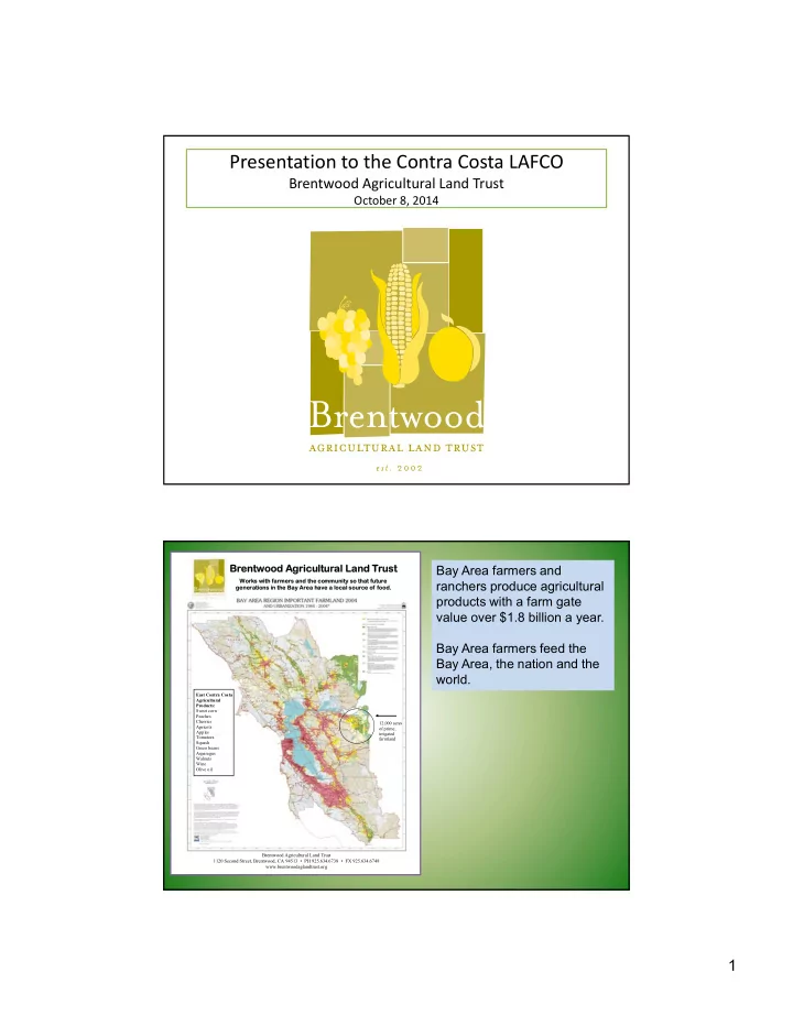
Br Brentwood
- od A
Agri ricultur ural La Land nd Trust ust
Work rks w s with farm rmers a s and the co e comm mmunity so so t that f future re generations in the B e Bay Area ea have a l ve a loca cal so source ce o
- f fo
food.
Brentwood Agricultural Land Trust 1120 Second Street, Brentwood, CA 94513 • PH 925.634.6738 • FX 925.634.6748 www.brentwoodaglandtrust.org 12,000 acres
- f prime,
irrigated farmland East Contra Costa Agricultural Products: Sweet corn Peaches Cherries Apricots Apples Tomatoes Squash Green beans Asparagus Walnuts Wine Olive oil
Bay Area farmers and ranchers produce agricultural products with a farm gate value over $1.8 billion a year. Bay Area farmers feed the Bay Area, the nation and the world.