
SLIDE 1
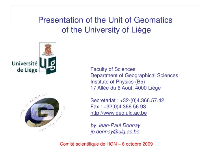
Presentation of the Geomatics Unit of the ULg
Comité scientifique de l’IGN – 6 octobre 2009
Faculty of Sciences Department of Geographical Sciences Institute of Physics (B5) 17 Allée du 6 Août, 4000 Liège Secretariat : +32-(0)4.366.57.42 Fax : +32(0)4.366.56.93 http://www.geo.ulg.ac.be by Jean-Paul Donnay jp.donnay@ulg.ac.be
Presentation of the Unit of Geomatics
- f the University of Liège