
SLIDE 1
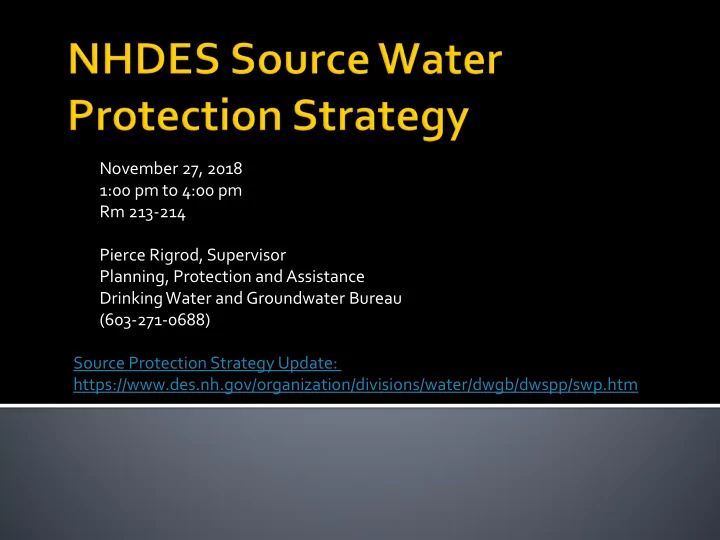
November 27, 2018 1:00 pm to 4:00 pm Rm 213-214 Pierce Rigrod, Supervisor Planning, Protection and Assistance Drinking Water and Groundwater Bureau (603-271-0688) Source Protection Strategy Update: https://www.des.nh.gov/organization/divisions/water/dwgb/dwspp/swp.htm