
SLIDE 1
NJTPA NJTPA -
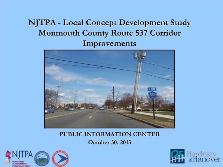
- Local Concept Development Study
Local Concept Development Study Monmouth County Route 537 Corridor Monmouth County Route 537 Corridor Improvements Improvements
PUBLIC INFORMATION CENTER PUBLIC INFORMATION CENTER October 30, 2013 October 30, 2013