
SLIDE 1
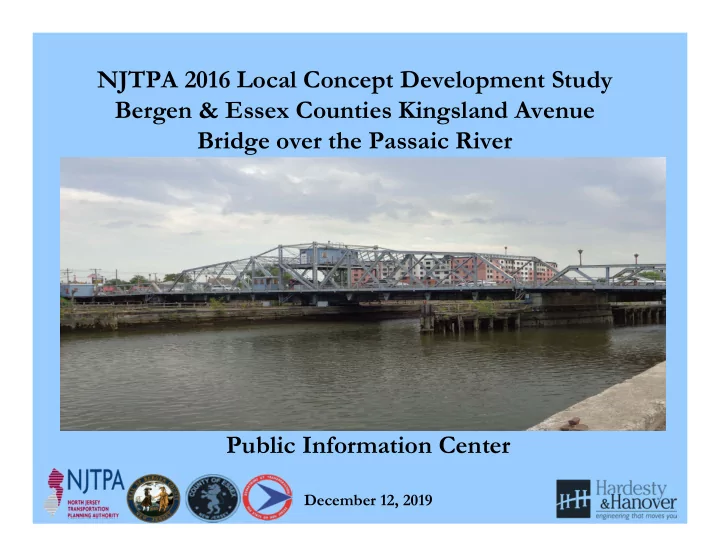
NJTPA 2016 Local Concept Development Study Bergen & Essex Counties Kingsland Avenue Bridge over the Passaic River Public Information Center
December 12, 2019
NJTPA 2016 Local Concept Development Study Bergen & Essex - - PowerPoint PPT Presentation
NJTPA 2016 Local Concept Development Study Bergen & Essex Counties Kingsland Avenue Bridge over the Passaic River Public Information Center December 12, 2019 Project Overview and Background Bridge Spans the Passaic River connecting the
December 12, 2019
Local Concept Development Local Preliminary Engineering Final Design/ Right
Construction
Data Collection Purpose and Need Statement Approved Design Exception Report Construction Contract Documents and PS&E package Complete Construction Concept Development & Alternatives Analyses Cost Estimates (Final Design, ROW and Construction) Environmental Reevaluations Continue Public Outreach Selection of Preliminary Preferred Alternative Approved Environmental Document Secure Environmental Permits As-Builts Environmental Screening Report & NEPA Classification Preliminary Design Acquisition of ROW Update and Finalize Design Communications Report Concept Development Report Preliminary Engineering Report Final Utility Relocation Schemes Close-out Documentation Initiate Public Outreach & Involvement Continue Public Outreach & Involvement Continue Public Outreach & Involvement
Bridge East Approach Roadway Looking West – Note no shoulders Bridge Opening Looking West at Route 21 & Township of Nutley
West approach to bridge at River Road & Park Avenue intersection West approach to bridge at intersection with Route 21 ramps & Park Ave.
Bridge looking east towards Township of Lyndhurst Substandard Vertical Clearance
Kingsland Ave & Riverside Avenue intersection looking east Project Goal: Improve Bicycle Compatibility
Project Goal: Compatibility with Passaic River Waterfront Walkway Passaic River Waterfront Walkway looking south
Bridge Navigation: 7-ft vertical clearance at MHW , 65-ft channel width Looking upstream from bridge; note boat ramp on west bank
Utility Owner Facilities Electric (Newark & East Newark) PSE&G Utility poles, Overhead and underground primary and secondary electric lines Telephone Verizon Overhead and underground telephone conduits and manholes Cable Comcast & Altice USA Overhead cable lines Gas PSE&G Underground transmission and distribution Water/Storm Sewer Lyndhurst & Nutley Dept. of Public Works Underground sewer, underground water mains, hydrants, and valves Sanitary Sewer PVSC Underground sewer & manholes Sanitary Sewer Essex County Public Works Underground sewer & manholes
Kingsland Ave Bridge (RM 10.7) & Rt. 7 (Bellville Tpk) Bridge RM 8.9)
Year Kingsland Ave # Openings Route 7 # Openings 2011 8 116 2012 13 58 2013 66 56 2014 40 53 2015 0 10 2016 0 27*
used standard height tugs with flat top barges with excavators on top – operations required no openings for I-280 Stickle Bridge
and kayaks * January through June 2016