MOUTH OF THE COLUMBIA RIVER REGIONAL SEDIMENT MANAGEMENT PLAN July - - PowerPoint PPT Presentation

mouth of the columbia river regional sediment management
SMART_READER_LITE
LIVE PREVIEW

MOUTH OF THE COLUMBIA RIVER REGIONAL SEDIMENT MANAGEMENT PLAN July - - PowerPoint PPT Presentation

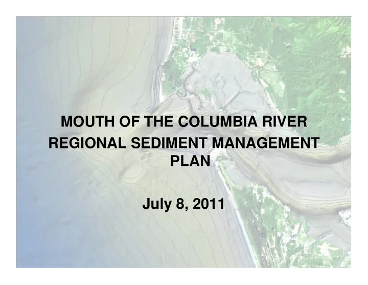
MOUTH OF THE COLUMBIA RIVER REGIONAL SEDIMENT MANAGEMENT PLAN July 8, 2011 SUMMARY OF PROCESS Science-Policy workshops convened by LCSG in 2005, 2007, 2009 and 2010 Since 2002, more than dozen different research projects, including


slide-1
SLIDE 1

MOUTH OF THE COLUMBIA RIVER REGIONAL SEDIMENT MANAGEMENT PLAN July 8, 2011

slide-2
SLIDE 2

SUMMARY OF PROCESS

  • Science-Policy workshops convened by LCSG in 2005, 2007, 2009

and 2010

  • Since 2002, more than dozen different research projects, including

sand tracer studies

  • Columbia Nearshore Beneficial Use Project initiated in 2004
  • Southwest Washington Littoral Drift Restoration Project initiated in

2007

  • Demonstration projects within the OR nearshore and on-shore at

Benson Beach

  • Collaborative projects, e.g. navigational aid projects (enhancements

to ARGUS beach monitoring; CDIP wave-ride buoy)

slide-3
SLIDE 3

= South Jetty Site Tracer Study Area

South Jetty Site Tracer Study Area

Figure 1

slide-4
SLIDE 4

SUMMARY OF PROCESS, cont.

RSMP process initiated by LCSG in 2010

  • Steering Group and SAT established
  • August 2010 Policy workshop
  • November 2010 Science/Policy workshop
  • Interviews with key stakeholders
  • February 2011 Preliminary Review Draft Plan
  • March 2011 Targeted Outreach session
  • June 2011 Public Review Draft Plan
slide-5
SLIDE 5

Clatsop Spit

Peacock Spit SWS

? ?

CAN WE ? : * Reduce the rate of erosion affecting the jetties? * Reduce shoreline erosion along areas north and south of MCR?

slide-6
SLIDE 6

RSMP

Provide long-term strategy to guide sediment management at MCR, serve as basis for permitting a network of beneficial use sites, and facilitate securing of appropriations to finance ongoing R & M

  • Material placed at DWS is lost to littoral system
  • Status quo is unacceptable -- ongoing erosion, potential

breaching of jetties, increasing deterioration of nearshore environment

  • Need for a regional approach
slide-7
SLIDE 7

PLAN ELEMENTS

  • Assumptions and Conditions
  • Network of Sites
  • Adaptive Management Program
  • Management and Implementation
slide-8
SLIDE 8

Assumptions and Conditions

  • “Clean” resource of fine sediments.
  • The network of existing disposal sites needs to be expanded to

include beneficial use sites that can be sustainably and adaptively managed to add clean sediment to the littoral system.

  • Thin-layer disposal at new beneficial use sites would be expected to

have less impact on navigational safety and biological resources than continuing disposal at the currently authorized sites.

  • Nothing precludes the identification of additional sites as potential

disposal locations.

  • Disposal is limited to MCR sediment and to disposal by the Corps.
  • Current disposal practices and erosion patterns have their own sets
  • f effects on environmental resources and navigation safety.
slide-9
SLIDE 9

Assumptions and Conditions

  • Planning for new disposal sites is recognized as an

exercise in risk management; thus, an adaptive approach is needed.

  • While data gaps continue to be filled, there is a

considerable amount known about the area and a valid basis for expectations about the levels of potential risks to the physical and biological environments.

  • A minimum amount of sand needs to be provided

annually in order to demonstrably help sustain jetties, beaches, and marine habitat.

slide-10
SLIDE 10

Network of Sites

System of 7 sites

  • Existing Authorized Sites – SWS, NJS, DWS
  • New Beneficial Use Sites
  • 2 nearshore = South Jetty, North Head
  • 2 on-shore = Clatsop spit, Benson Beach
  • Guidelines for prioritization; function of AMT
  • DWS should only be employed when weather or other factors

eliminate nearshore or on-shore options.

slide-11
SLIDE 11
slide-12
SLIDE 12

Adaptive Management Program

Adaptive Management Team Annual Use Plan Research and Monitoring Management and Implementation

slide-13
SLIDE 13

Adaptive Management Team

  • Appointed/convened by LCSG
  • Representatives from federal, state and

local regulatory agencies; CRCFA; academic community

  • Management and technical teams
  • Functions
  • - Develop recommended program of

baseline studies and R & M

  • - Monitor the disposal program and

recommends adjustments as needed

slide-14
SLIDE 14

Adaptive Management Team

  • Functions, cont.
  • Develop protocols for determining if

beneficial or adverse effects have been realized, and design and evaluate options for how to proceed if adverse effects occur.

  • Identify minimum thresholds for the amounts
  • f sand disposed of at each site needed to

provide for the efficacy of monitoring.

  • Recommend priority locations for disposal
  • Identify funds and/or other commitments to

help implement the proposed R&M priorities.

slide-15
SLIDE 15

Annual Use Plan

  • Describes the timing, methods of disposal

and monitoring for each site, including priorities for site use and disposal methods

  • Developed by Corps, approved by EPA
slide-16
SLIDE 16

Research & Monitoring Program

Navigational Safety

  • Continuation of bathymetric monitoring
  • Wave height threshold of 10% increase
  • Predictive & real-time information on

waves and wind

slide-17
SLIDE 17

Research & Monitoring Program

Biological Sciences

  • Focused on species of concern
  • - Dungeness crab
  • - Razor clams
  • - Other fish species
  • Baseline surveys and pre- and post-

disposal monitoring

  • South Jetty area as a priority
slide-18
SLIDE 18

Management and Implementation

  • Regional initiative led by LCSG
  • Element of 2005 SMMP that governs Lower

Columbia River dredging and disposal

  • Disposal at new beneficial use sites conducted

under Corps authority

  • Initial steps
  • Establishing and convening of AMT
  • Securing funding for baseline studies and R

& M program

slide-19
SLIDE 19

Management and Implementation

  • Summer 2011

Develop cooperative agreements for Plan implementation and funding.

  • Summer/Fall 2011

Establish and convene AMT to design baseline studies and initial R&M

  • Summer 2012

Conduct baseline studies.

  • August 2012

Initiate disposal within network of beneficial use sites.

  • September 2012-

Conduct post-disposal monitoring. Summer 2013

  • Winter 2013

AMT reviews data from 2012 and develops any recommended modifications to disposal or monitoring program for incorporation into 2013 Annual Use Plan.

slide-20
SLIDE 20