
SLIDE 1
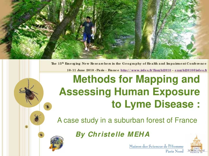
Methods for Mapping and Assessing Human Exposure to Lyme Disease :
A case study in a suburban forest of France
T he 15th E me r ging Ne w Re se ar c he r s in the Ge ogr aphy of He alth and Impair me nt Confe r e nc e 10- 11 June 2010 - Par is – F r anc e http:/ / www.ir de s.fr / E nr ghi2010 - e nr ghi2010@ir de s.fr T he 15th E me r ging Ne w Re se ar c he r s in the Ge ogr aphy of He alth and Impair me nt Confe r e nc e 10- 11 June 2010 - Par is – F r anc e http:/ / www.ir de s.fr / E nr ghi2010 - e nr ghi2010@ir de s.fr