Mapping Ecological Restoration Efforts In The Shawnee National - - PowerPoint PPT Presentation
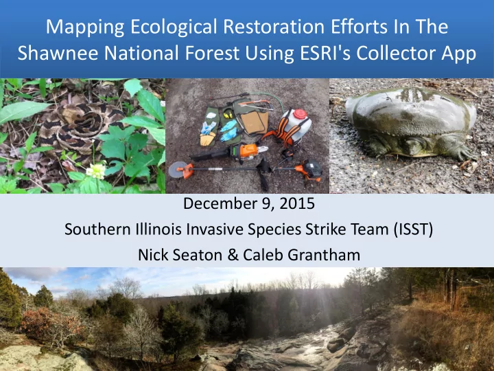
Mapping Ecological Restoration Efforts In The Shawnee National Forest Using ESRI's Collector App December 9, 2015 Southern Illinois Invasive Species Strike Team (ISST) Nick Seaton & Caleb Grantham Acknowledgements Objectives 1.
Acknowledgements
1. Background of ISST 2. Background of ISST mapping system 3. Collector app features 4. Data and device requirements 5. Review of GIS terms that will be used 6. ISST mapping with the Collector app 7. Database attributes 8. Preparing and publishing data/maps 9. Synchronization workflows 10. Virtual Tour 11. Collecting data offline 12. Syncing data 13. Exporting attachments 14. Example of a treatment map 15. Additional training modules 16. Answer any questions
Objectives
Quick Background of the ISST
- A grant funded program that was started in 2008 to work primarily in
natural areas that have been threatened by invasive species.
- Based off of the National Park Service’s successful strike team model.
- We work in the southernmost 11 counties of Illinois treating invasive
species via chemical, mechanical, and prescribe burning techniques.
- Through work agreements and working with partners we are able to work
- n state, federal, and adjacent private properties during the field season.
- Throughout the 2014 field season, we treated 20 different exotic invasive
species totaling 2,691.53 acres.
Background of ISST Mapping System
Began with a TNC based program called the “Weed Information Management Systems” (WIMS) Since January 2015 the ISST has been using the ESRI Collector App
Esri Collector App Features
- Create and configure maps to fit your organizations
workflows.
- Improve your data quality with easy-to-use map-
driven forms.
- Find places, plan routes, and get directions
- Take your maps and data offline and sync your
collected information once reconnected
- Capture and share photos and videos
- Track and report your areas you visited
- Display your data in Operations Dashboard for ArcGIS
Data Requirements
- To use your maps in Collector,
you must have an ArcGIS
- rganizational account.
- Your maps can include data
from:
– ArcGIS Online – Portal for ArcGIS – ArcGIS for Server.
- You can create an account by
going to: maps.arcgis.com
Device Requirements
- Download Collector from either:
– Google Play – Itunes App Store
- App is free download
5 Common GIS Terms when using Collector
- Geodatabase: A collection of geographic datasets of various
types.
- Domain: Rules that describe the legal values of a field.
- Feature Class: A collection of geographic features that share
that same geometry type (such as point, line, or polygon) and the same attribute fields for a common area.
- Field: A column in a table; each field contains the values for a
single attribute.
- Subtypes: Provides a method of dividing your feature classes or
tables into logical groupings based on an attribute value.
Mapping with the Collector App (how we have been using it in the field)
- We created a geodatabase
in arc-catalog with all of the features and attributes we wanted to gather throughout the year while in the field.
- This database shares many
- f the same qualities as the
- ld WIMS database that we
thought would be practical to carry over
Database Attributes
– Area – Chemical used – Date – Gallons used – Ownership – Rate % – Spp – Time spent – Treatment type – Notes on the population – Phenology – Bags filled Prior to creating our database, we met with FS, FWS, and IDNR representatives to determine what attributes should be collected. Domains included in the current running database are:
Database Attributes – Pull Down Menus
- Using coded values in our database
ensures data conformity
- Refine the form experience in
Collector for ArcGIS
- Less mistakes than a hand written
form
- Facilitates in field data collection
Database Attributes – Subtypes
The treatment type field was turned into 5 subtypes
Preparing and Publishing Your Data
- Collector edits feature services
– Supported Types:
- ArcGIS for server (on-premise)
- ArcGIS Online (hosted)
– Supported Operations:
- Editing operations
- Sync by enabling the check box
Synchronization Workflow: On-premise
Synchronization Workflow: Hosted
Current & future workflows
Field managers can improve field workflows by preparing maps for collectors. You are able to choose your work area prior to creating a basemap to take offline.
- Allows for increased detail
- Download time ranges so be smart about your zoom/detail
This is the map that was published on the web at tnc.maps.arcgis.com
http://arcg.is/1HaV Ufg - http://tnc.maps.ar cgis.com/apps/pre sentation/index.ht ml?webmap=2d8c d2c14b4940c79ae3 683ee742bd79
Mapping with the Program Virtual Tour
Collecting Offline
- Once you have published
your database online and created a map you can now download the map to your GPS
- No data-plan required!
- Our map uses 350 MB
Collecting Offline
– Offers directions to and from locations much like a Garmin or other GPS navigation device – Enables user to change basemaps at any time – Allows for different tools to be used such as measuring, clipping, streaming, etc.
- Collector works with your GPS device on your tablet or
phone, eliminating the need for a data plan
Collecting Offline
- IPHONE, IPAD, and Android
devices can all work offline
- If using an ITOUCH or
something with no internal GPS unit, you could purchase an external GPS receiver
– Can be more accurate than internal GPS chips on phones or tablets – Also extends battery life
- Externals have their own battery
source so you wouldn’t be burning up lifespan by tracking location and running programs on your actual handheld devise or tablet
Syncing Collected Data From Device
- This part of the process does require an
internet connection
- You can draw in your features or stream
your data with the built in GPS
- The updated database can be viewed in
ArcMap
- Collector keeps edits local and saves
data to be synced later, so you don’t lose any data if sync is unsuccessful
Streaming-interval and required accuracy can be changed in the settings tab
Exporting Attachments (Pictures & Videos)
- Attachments are
stored inside a table within your geodatabase
- Attachment data type
is supported through: – desktop application – ArcGIS online – web application – portal applications
Additional Training
Training.esri.com
- 1. Training catalog
- 2. Search collector
- 3. Choose one of five videos
http://resources.arcgis.com/en/help/