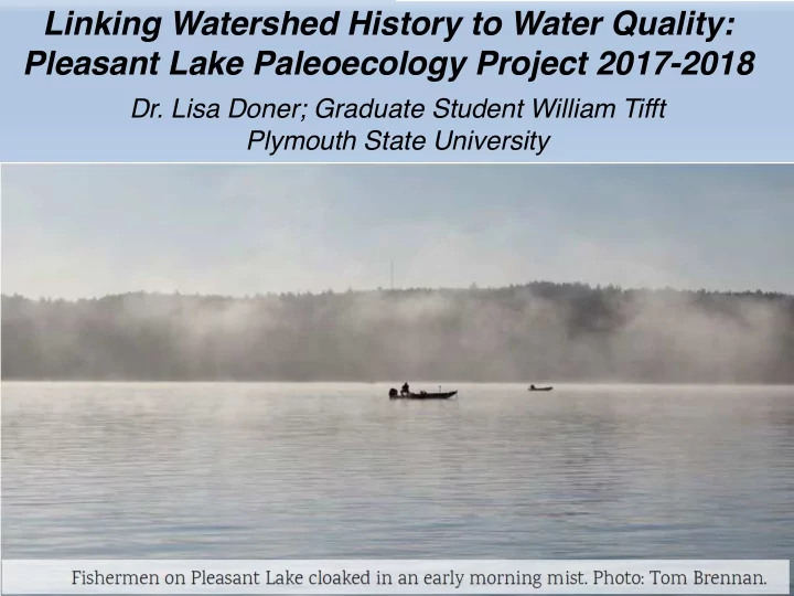
SLIDE 1 Linking Watershed History to Water Quality: Pleasant Lake Paleoecology Project 2017-2018
- Dr. Lisa Doner; Graduate Student William Tifft
Plymouth State University
SLIDE 2
Pleasant Lake Watershed Restoration Plan 2017
SLIDE 3 Sediment environment naturally low in oxygen because of lake stratification
Approximate Sediment Core Location
x
SLIDE 4 Sediment coring concept – All solid material in a watershed eventually ends up at the lowest spot. In lakes, this material is permanently trapped by the basin, so it accumulates. Coring collects these materials in their depositional sequence.
Over thousands of years, lakes fill up with sediment, becoming shallower and more
Human activity can greatly increase the rate of infilling, by enhancing erosion and organic deposition
SLIDE 5
Sediment Core Collection in August 2017
Setting out anchors to prevent drift Noting location and water depth Lowering the empty corer tube to the lake bottom Retrieving the corer (sediment collected inside the tube)
SLIDE 6
Two cores collected: Pleasant Lake 2017-1 and Pleasant Lake 2017-2
SLIDE 7
Both cores have subtle but distinct changes in sediment color changes occur at about 10-13 cm and 36-40 cm below the core top smearing of sediment on the core liner blurs color transition, but remember those depths! 10-13 cm 36-40 cm
gray greenish brown tan
SLIDE 8
Sampling the core in the lab Subsamples: 1 cm intervals 50 cm-long core = 50 samples
SLIDE 9 Each 1 cm-thick sample is dried (by freeze-drying) and then split into subsamples for these analyses:
- carbon content (loss-on-ignition) - completed
- sediment chemistry (ICP-OES) - completed
- sediment magnetism - completed
- particle-size (laser-based) - pending
- sediment age determination (210Pb) - submitted
Total number of subsamples analyzed: 50 samples x 5 subsamples = 250 analyses Pleasant Lake 2017-1 has 50 samples at 1 cm intervals Pleasant Lake 2017-1 has 100 samples at 0.5 cm intervals
SLIDE 10 Key questions asked in the watershed plan:
- 1. Organic Content – has it changed significantly
across the depositional time period?
- 2. Phosphorus levels – could the sediments be a
potential source that could “fertilize” the water with changes in oxygen level?
- 3. Has the lake’s sediment accumulation rate
changed over time?
SLIDE 11 21 22 23 24 25 26 5 10 15 20 25 30 35 40 45 50
Loss on Ignition (%) Depth (cm)
Organic Carbon Content of Pleasant Lake’s Sediments
Historical baseline
strong increase in organic levels starting about 10-13 cm (and a decrease between 36-45 cm). These values are also affected by changes in mineral inputs to the lake (erosion), but the recent trend is likely true
SLIDE 12
0.15 0.16 0.17 0.18 0.19 0.2 0.21 0.22 0.23 10 20 30 40 50
Sediment Phosphorus (%) Sediment Depth (cm)
Phosphorus Content of Pleasant Lake’s Sediments
Historical baseline
No obvious trend but spike in recent deposits (one sample) and at core bottom below 40 cm
SLIDE 13
Need to know the time interval for each sample to determine the sediment accumulation rate. But we can use indicators of erosion to see if there are changes in the amount of material being transported to the lake basin. Typical indicators are: Sediment particle size (in progress) Sediment Magnetism Carbon to Nitrogen Ratio Sediment Chemistry (soil cations like K, Ca, Mg)
SLIDE 14 Magnetic Behavior of Pleasant Lake’s Sediment Layers
0.0E+00 2.0E-06 4.0E-06 6.0E-06 8.0E-06 1.0E-05 1.2E-05 1.4E-05 1.6E-05 5 10 15 20 25 30 35 40 45 50
Magnetic Susceptibility (SI Units) Sediment Depth (cm)
Higher magnetism
more land erosion. Sharp increases at 40 cm and 33 cm; more decreases above 10 cm
SLIDE 15 8 9 10 11 5 10 15 20 25 30 35 40 45 50
Carbon to Nitrogen Ratio Sediment Depth (cm)
Carbon to Nitrogen Ratio in Pleasant Lake’s Sediments
Slightly higher values = more debris from land plants in this interval
lower values = more algae starting at 10-13 cm
SLIDE 16 0.15 0.2 0.25 0.3 0.35 0.4 0.5 0.6 0.7 0.8 0.9 1 1.1 1.2 1.3 1.4 5 10 15 20 25 30 35 40 45 50
Magnesium (%) Potassium (%) Sediment Depth (cm)
Soil Cations in Pleasant Lake's Sediments
K (%) Mg (%)
Historical baseline same peak in phosphorus maybe an ”event” like a flood sharp increase above 40 cm; more change above 13 cm
SLIDE 17
Current areas in the watershed with higher potential for soil erosion – both are near the coring location (white dot) Note that as land uses change, so will areas prone to erosion
SLIDE 18
10 20 30 40 50 60 50 100 150 200 250 300 5 10 15 20 25 30 35 40 45 50
Heavy Metals in Pleasant Lake Sediments
Pb (ppm) Zn (ppm) Cr (ppm) Cu (ppm) Sediment Depth (cm) note this sample stands out again 33-40 cm is an interval of increased metal loads – this is probably the beginning of gasoline and diesel fuel use (ca 1915)
SLIDE 19 Lead 210 Dating
Scientific principle: The amount of radioactive lead decreases steadily over time. We can measure that concentration in each sediment samples from the core. At the top of the core, the Pb210 concentration is
- highest. At the core bottom, it
may be zero. From this relationship, sediment age can be determined. We anticipate receiving data that looks somewhat like this (but showing Pleasant Lake’s depositional pattern)
SLIDE 20
Thank you
This work is continuing – William Tifft is using this in his Master’s thesis, looking for storm events like Tropical Storm Irene, Superstorm Sandy, and the 1959 and 1938 hurricanes. Questions – my email: ladoner@Plymouth.edu