
SLIDE 1
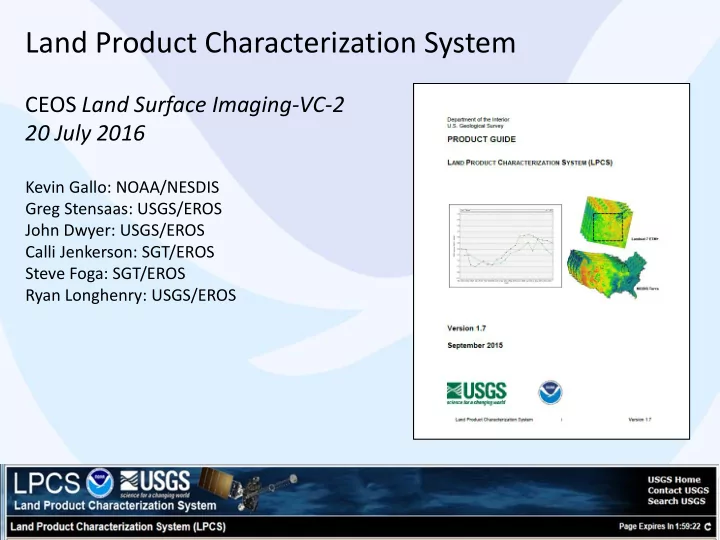
Land Product Characterization System
CEOS Land Surface Imaging-VC-2 20 July 2016
Kevin Gallo: NOAA/NESDIS Greg Stensaas: USGS/EROS John Dwyer: USGS/EROS Calli Jenkerson: SGT/EROS Steve Foga: SGT/EROS Ryan Longhenry: USGS/EROS
1
Land Product Characterization System CEOS Land Surface Imaging-VC-2 - - PowerPoint PPT Presentation
Land Product Characterization System CEOS Land Surface Imaging-VC-2 20 July 2016 Kevin Gallo: NOAA/NESDIS Greg Stensaas: USGS/EROS John Dwyer: USGS/EROS Calli Jenkerson: SGT/EROS Steve Foga: SGT/EROS Ryan Longhenry: USGS/EROS 1 Land Product
1
4
5
6
7
8
10
11
15
16
17
18
19
2 1 4 3
20
21
22
23
Each point within figures represents 100 km2 sample area.
26
27
29
30
31
33
34