Lake Sammamish Kokanee Work Group Meeting May 10, 2010 Project - - PowerPoint PPT Presentation

lake sammamish kokanee work group meeting may 10 2010
SMART_READER_LITE
LIVE PREVIEW

Lake Sammamish Kokanee Work Group Meeting May 10, 2010 Project - - PowerPoint PPT Presentation

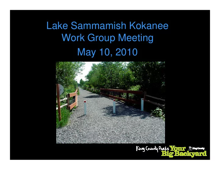
Lake Sammamish Kokanee Work Group Meeting May 10, 2010 Project Overview The purpose of the project is to design and construct an alternative non-motorized transportation corridor and multi-use recreational trail from Gilman Boulevard in


slide-1
SLIDE 1

Lake Sammamish Kokanee Work Group Meeting May 10, 2010

slide-2
SLIDE 2

Project Overview

  • The purpose of the project is to design and construct an alternative

non-motorized transportation corridor and multi-use recreational trail from Gilman Boulevard in Issaquah to the Bear Creek Trail in Redmond.

  • An existing gravel trail encompasses the former railbed through most
  • f the corridor. The gravel trail varies in width from 8-12 feet.
  • The new trail would be wider and paved. Amenities such as restrooms

and parking will be added at SE 33rd St, Inglewood Hill Rd, and NE 70th St.

slide-3
SLIDE 3

Typical Trail Section

slide-4
SLIDE 4

Project Schedule and Phasing

  • Final Environmental Impact Statement (combined

NEPA/SEPA) for entire corridor will be issued in May.

  • Permitting, design, and construction are being completed in

phases, as funding becomes available.

– Construction of segments in Redmond and Issaquah may begin in 2011. – Design of segments in Sammamish will not likely commence until 2011 or 2012.

slide-5
SLIDE 5

Project Implications on Streams

  • The trail crosses 46 streams.
  • Most of these streams pass beneath the trail via
  • culverts. The trail crosses a few via bridge.
  • As the gravel trail is widened:

– Some of the culverts require lengthening or replacement, resulting in a loss of stream channel. – The associated stream buffers are affected.

slide-6
SLIDE 6

Design Approach

  • Avoid and minimize impacts
  • Apply a screening and prioritization tool to

determine where to propose fish passage improvements improvements

  • Identify potential locations for mitigation
slide-7
SLIDE 7

Fish Passage Screening and Prioritization

  • STEP 1: Identify affected culverts
  • STEP 2: Identify streams affected by culvert

lengthening or replacement

  • STEP 3: Identify fish habitat and fish-bearing

streams

  • STEP 4: Perform fish barrier analysis
  • STEP 5: Determine engineering feasibility
slide-8
SLIDE 8

Culvert Screening Results

slide-9
SLIDE 9

Planned Fish Passage Improvements

  • 7 culverts on fish-bearing streams do not

meet fish passage requirements.

  • Physical constraints limit upgrade feasibility

at 4 of these crossings. at 4 of these crossings.

  • 3 culverts planned for upgrade, including

George Davis Creek

slide-10
SLIDE 10

ELST Mitigation Considerations

  • Mitigation may be required for culverts

where fish-passage upgrades are infeasible or for riparian impacts

  • Coordination with Kokanee Work Group
  • Coordination with Kokanee Work Group
  • Other constraints and considerations
  • Timing constraints
  • Mitigation size and location
  • Compatibility with kokanee restoration
slide-11
SLIDE 11

High Priority Streams for Kokanee Conservation

  • Currently contain spawning populations:

– Ebright Creek, – Laughing Jacobs Creek, – Pine Lake Creek, and – Pine Lake Creek, and – Issaquah Creek

  • Having historical usage

– Zaccuse Creek – George Davis Creek