
SLIDE 1
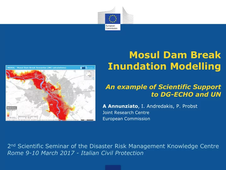
Mosul Dam Break Inundation Modelling
An example of Scientific Support to DG-ECHO and UN
A Annunziato, I. Andredakis, P. Probst
Joint Research Centre European Commission
Inundation Modelling An example of Scientific Support to DG-ECHO - - PowerPoint PPT Presentation
Mosul Dam Break Inundation Modelling An example of Scientific Support to DG-ECHO and UN A Annunziato , I. Andredakis, P. Probst Joint Research Centre European Commission 2 nd Scientific Seminar of the Disaster Risk Management Knowledge Centre
A Annunziato, I. Andredakis, P. Probst
Joint Research Centre European Commission
team and an Environmental Emergencies expert was deployed to support preparedness for a potential failure of the Mosul Dam.
manager to Iraq to develop a protocol jointly with the UNDAC team
Protection Mechanism, developed a number of dam failure scenarios (including flood maps)
hazardous industrial installations in the flood zones
literature and digitized
considered open in the wall of the dam. 3 types of breaks considered: 7%, 26%, 60%.
67 30 20 40 60 50 10 Elevation a.s.l. (m)
Lake of Mosul dam Mosul dam Main section of the Mosul lake
Tigris river Mosul lake main section Mosul lake shore Mosul dam and plant area 321 254 Elevation a.s.l. (m) 340 240 330 300 290 280 270 260 250 310 320
The break is opening instantaneously, creating a critical flow at the edge of the water. The instantaneous opening can be considered a conservative assumption or a sudden explosive break
Mosul: max. 26m
330 m lake height
0.00 50.00 100.00 150.00 295 300 305 310 315 320 325 330 335
Time of arrival (h) Lake Elevation (m a.s.l)
Arrival time vs. Lake Elevation
Mosul Banyji Tikrit Samarra Bagdad Linear (Mosul) Linear (Banyji) Linear (Tikrit) Linear (Samarra)
Simulated lake heights:
10 20 30 295 300 305 310 315 320 325 330 335
Maximum height (m) Lake Elevation (m a.s.l)
Maximum height vs Lake Elevation
Mosul Banyji Tikrit Samarra Bagdad Linear (Mosul)
Linear (Samarra) Linear (Bagdad)
Simulated lake heights:
Population Impact: 4.5 million people
1.5 million in water > 2m 140 000 in water > 10m
It is not clear how the control of the water flowing to Tharthar lake is performed. Apparently no control structure appears on the channel to Tharthar lake, so the only control is performed with the dam towards Bagdhad
The alerting could be given with 1-1.5 h lead time, which is rather large time if a proper preparedness of local people is performed Time Water Level
Control Box
considered as comparable to the SC in its comprehensiveness and end results. This study, however, surpasses all the previous studies even the SC study by estimating the possible number of affected population and giving indications of the amount of material destruction at each level
most up to date and most comprehensive study done so far, so it must be checked for any areas of improvements weather in the assumptions
“Rescue Line” in all the threatened zones for each reservoir water level scenario. Contour maps indicating these rescue lines should be prepared and projected on the ground with participation from the government to mark these rescue lines
http://ltu.diva-portal.org/smash/get/diva2:982079/FULLTEXT01.pdf