
SLIDE 1
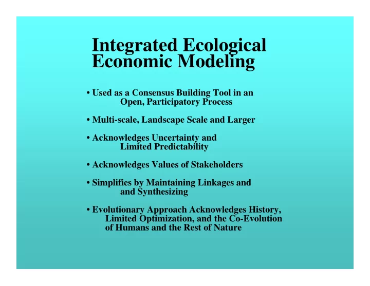
- Used as a Consensus Building Tool in an
Open, Participatory Process
- Multi-scale, Landscape Scale and Larger
- Acknowledges Uncertainty and
Limited Predictability
- Acknowledges Values of Stakeholders
- Simplifies by Maintaining Linkages and
and Synthesizing
- Evolutionary Approach Acknowledges History,
Limited Optimization, and the Co-Evolution
- f Humans and the Rest of Nature