
SLIDE 1
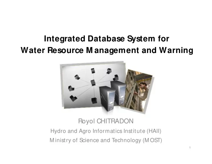
Integrated Database System for Water Resource M anagement and Warning
Royol CHITRADON
Hydro and Agro Informatics Institute (HAII) M inistry of Science and Technology (M OST)
1
Integrated Database System for Water Resource M anagement and - - PowerPoint PPT Presentation
Integrated Database System for Water Resource M anagement and Warning Royol CHITRADON Hydro and Agro Informatics Institute (HAII) M inistry of Science and Technology (M OST) 1 Supporting System for Water Resource Management and Warning
1
Response Prevention Website Daily Report Maps Logistics Organization Chart Meteorological Data Hydrological Data Geographical Data Local Data
Models Warning System Data List SCC System Sensor Web
2
Meteorology Hydrology Infrastructure Geology Social Statistics
Data Management / Verification Data Catalog/ Data Clearing House
National Disaster Warning Center
Department of Disaster Prevention & Mitigation
Water Related Agencies EGAT Hospital / School / Public
Ministry of Science and Technology Ministry of Science and Technology
3
4
CCTV
5
6
7
8
9
Data for Water Resource Management
10
Weather
11
Sensors
12
Reservoirs and CCTV
13
14
15
16
17
Projection Projection Forecasting Forecasting Now-casting Now-casting Disaster M anagement Disaster M anagement
(PDC)
Waves
data, accumulated rainfall map
Scan
M onitor/ Analyz e M onitor/ Analyz e
forecasting
surface height, Sea surface temperature
Projection
Dam inflow and reservoir, Sea level
etc.
T emperature, Humidity, Air Pressure, Solar radiation etc.
Cloud, Soil moisture
Sea surface temperature
Surveillance - 1 week Risk area announcement – 3 days Hazardous area announcement – 1 day M onitor/ Analyze situation M onitor the development
Warning level
Warning level
Disaster announcement
19
20
21