
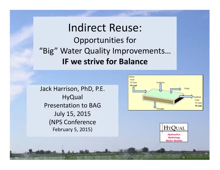
SLIDE 1
Indirect Reuse:
Opportunities for “Big” Water Quality Improvements… IF we strive for Balance
Jack Harrison, PhD, P.E. HyQual Presentation to BAG July 15, 2015 (NPS Conference
February 5, 2015)
Indirect Reuse: Opportunities for Big Water Quality Improvements IF - - PowerPoint PPT Presentation
Indirect Reuse: Opportunities for Big Water Quality Improvements IF we strive for Balance Jack Harrison, PhD, P.E. HyQual Presentation to BAG July 15, 2015 (NPS Conference February 5, 2015) Hydrologic Cycle Regulatory Framework Water
February 5, 2015)
Irrigated land 10000 ac Phosphorus used 20 lb/acre 200000 total Irrigation period 200 days 1000 lb/day P Load used
Crop P Uptake (lb/ac) Corn grain 130 lb/ac 20 Corn silage 22 tons/ac 29 Alfalfa 6 tons/ac 26 Average 25 Production
NRCS per
DEQ
Example A: Greenleaf WW Reuse and Discharge
Map by USGS, MacCoy 2004
Example B: Riverside /IPC Operational Improvement Example C: Farmer’s Coop Pipeline Middleton WW Reuse and Discharge Feasibility Study ACHD 15‐mile Water Quality Study
Avimore WW Reuse and Rapid Infiltration Example D: Ag BMP on Mason Creek
(Not a HyQual Project)
Example Name Type Area
(acres) (lb/ac/yr) (lb/yr)
A Greenleaf Wastewater Land Application 53 14 742 B Riverside Canal Operations >10,000 3 31840 C Farmers Pipeline to Canal ~15,000 0.6 4400 D BMP Sprinkler Conversion 140 8 1120 P Treatment
(part of $4 million project)
During May to October “critical period” per Snake River‐Hells Canyon TMDL
to West End Drain
– Non “critical period” – Minor summer discharges (P‐limited)
Area 53 ac Loading Rate 14 lb/ac Phosphour Removal 742 lb/yr Period 150 days P Treatment Rate 5 lb/d
Irrigated Area in Lower Boise Watershed (2005): >>> 162,000 ac
Ex B: Riverside /IPC Operational Improvement (~10,000 ac) Ex C: Farmer’s Coop Pipeline (~15,000)
Map of lower Boise River valley, cities and irrigation districts (from Petrich and Urban 2004).
Locations in Lower Watershed are KEY!!
Spill Gate # 2
Diversion Tributary Spill Delivered Boise River
Indian Creek Indian Creek West End Drain Dixie Slough East Alkali Drain
Key:
Holly Drain Cell Link End Spill
Boise River Diversion Gates Indian Creek Spill Gate #0 Dixie Slough Spill Gate #1 Dutton Spill Gate #2 HollySpill Gate #3 RID Irrigation Area ~3434 ac RID Irrigation Area ~2782 RID Irrigation Area ~3941 RC0.1 RC1.8 RC2.3 RC9.1 RC18.7 RC23.8 RC8.1 Flow Flow RC30.9 Boise River Snake River Phase 2 Automation
Pioneer Dixie ~2348 ac Caldwell ~60 ac Cheney ~454 ac
RC23.7 RC9.0 RC2.0 RC0.0 RC18.6
TP Load Reduction (2014 ‐ BL) (lb/d) Days lb/yr 174 183 31840
RID Load ~3 lbs/ac/yr
Boise River at Parma 1010 lb/d (17%)
SPF 2014 draft
Proposed Sand Hollow Pipeline Project
Sebree Canal Sand Hollow Creek
Date Discharge (cfs) Total P (mg/L) TSS (mg/L) TP (lb/d) TSS (ton/d) TP (ton/yr) TSS (ton/yr)
6/13/2012 42.4 0.312 95 71.2 10.8 5.4 1658 7/11/2012 38.7 0.465 184 96.8 19.2 7.4 2931 8/7/2012 47.5 0.304 37 77.7 4.7 5.9 723 9/17/2012 67.8 0.184 11 67.1 2.0 5.1 307 Average 49.1 0.316 82 83.5 10.8 6.4 1652 Load Reductions
30 0.268 43
43.3 3.5 3.3 1072
Assumptions: Efficiency 30% Period (d) 153
2.3 750 Annual Reduction
Estimated cost: $1.6/lb‐P Farmers (~50%) 7500 ac Load Reduction 4400 lb/yr 29 lb‐P/day 0.6 lb/ac/yr
Sediment reduction 5 tons/ac/yr TP/SS Ratio 1.6 lb/ton Tp Reduction 8 lb/ac/yr Area converted 140 ac Load Reduced 1120 lb/yr Days 150 days/yr Load Reduction/d 7.5 lb‐P/d Estimated costs $1,000 $/ac $140,000 $/life Life 15 years $9,333 $/year Cost per lb‐P $8 $/lb
Furrow Irrigate land 30000 acres Total costs $30 Million $ Load Reduction 1600 lb‐P/d Measured load 252 lb‐P/d
Problem: Load reduction is “on‐farm” reduction >> Not “in the River”
What is important: Load reductions >> “in the Field ” >> “in the River”
Mason Cr Load 252 lb‐P/d All Mason "Fields" w/CPs 1600 lb‐P/d Ratio River/field?? 16%
Example Name Type
(lb/ac/yr) ($/lb)
A Greenleaf Wastewater Land Application 14 n/a B Riverside Canal Operations 3 n/a C Farmers Pipeline to Canal 0.6 1.6 D BMP Furrow to Sprinkler Conversion 8 8 P Treatment
Crop P Uptake (lb/ac) Corn grain 130 lb/ac 20 Corn silage 22 tons/ac 29 Alfalfa 6 tons/ac 26 Average 25 Production
Q Conc Load Water WQ Q Conc Load
(cfs) (mg/L) (lb/d) (%) (%) (cfs) (mg/L) (lb/d)
271 0.07 102 50% 0% 135.5 0.20 146 271 0.07 102 70% 30% 81.3 0.14 61 271 0.50 729 50% 0% 135.5 0.30 219 271 0.50 729 70% 30% 81.3 0.21 92 Inflow Outflow "Upper‐valley" Location "Lower‐valley" location Management
B A
Riverside Canal Boise River Riverside Irrigation District Water Quality Management
RID Farmers TMDL Water Quality Management